

Api Gunung Bromo
A cycling route starting in Malang, East Java, Indonesia.
Overview
About this route
CL: 8 DH: 3 HL: 6 FR: 3 SP: 0 CB: 0 TQ: 3
- -:--
- Duration
- 194.2 km
- Distance
- 4,071 m
- Ascent
- 2,174 m
- Descent
- ---
- Avg. speed
- ---
- Max. altitude

Continue with Bikemap
Use, edit, or download this cycling route
You would like to ride Api Gunung Bromo or customize it for your own trip? Here is what you can do with this Bikemap route:
Free features
- Save this route as favorite or in collections
- Copy & plan your own version of this route
- Split it into stages to create a multi-day tour
- Sync your route with Garmin or Wahoo
Premium features
Free trial for 3 days, or one-time payment. More about Bikemap Premium.
- Navigate this route on iOS & Android
- Export a GPX / KML file of this route
- Create your custom printout (try it for free)
- Download this route for offline navigation
Discover more Premium features.
Get Bikemap PremiumFrom our community
Other popular routes starting in Malang
 Api Gunung Bromo
- Distance
- 194.2 km
- Ascent
- 4,071 m
- Descent
- 2,174 m
- Location
- Malang, East Java, Indonesia
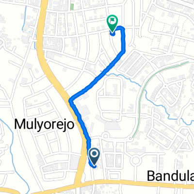
 Jalan Mangga 19, Kecamatan Klojen to Jalan Kawi 23, Kecamatan Klojen
- Distance
- 4.2 km
- Ascent
- 48 m
- Descent
- 120 m
- Location
- Malang, East Java, Indonesia
 Jalan Mayjen.M.Wiyono 1, Kecamatan Blimbing to Jalan Sidodadi I 23, Kecamatan Bululawang
- Distance
- 12.2 km
- Ascent
- 83 m
- Descent
- 158 m
- Location
- Malang, East Java, Indonesia
 bike tour through Batu
- Distance
- 31.3 km
- Ascent
- 769 m
- Descent
- 391 m
- Location
- Malang, East Java, Indonesia
 Malang-Pacet-Pandaan-Surabaya
- Distance
- 131.4 km
- Ascent
- 1,574 m
- Descent
- 2,018 m
- Location
- Malang, East Java, Indonesia
 Route to Luma Coffee & Eatery
- Distance
- 8.7 km
- Ascent
- 51 m
- Descent
- 29 m
- Location
- Malang, East Java, Indonesia
 Banjararum
- Distance
- 69.4 km
- Ascent
- 280 m
- Descent
- 255 m
- Location
- Malang, East Java, Indonesia
 Jalan Simpang Raya Langsep No. 59, Kecamatan Klojen to Jalan Taman Gayam 23, Kecamatan Klojen
- Distance
- 1 km
- Ascent
- 12 m
- Descent
- 18 m
- Location
- Malang, East Java, Indonesia
Open it in the app