

truppenübung
- 48.3 km
- 491 m
- 527 m
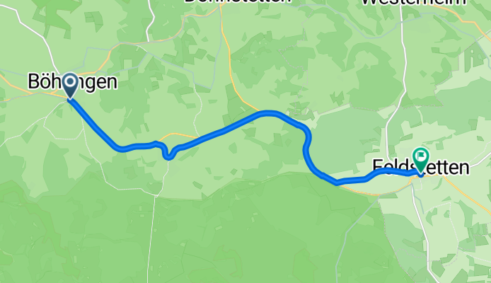
- Grabenstetten, Baden-Wurttemberg, Germany
Fast + efficient.
Track
7.3 km68 %Road
1.5 km14 %Paved
9.8 km(92 %)Asphalt
6.7 km63 %Concrete
2.4 km22 %Passhoehe ca. 830 m.
Huele + Backhaus.
Doline.
Free trial for 3 days, or one-time payment. More about Bikemap Premium.
Discover more Premium features.
Get Bikemap PremiumOpen it in the app


