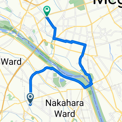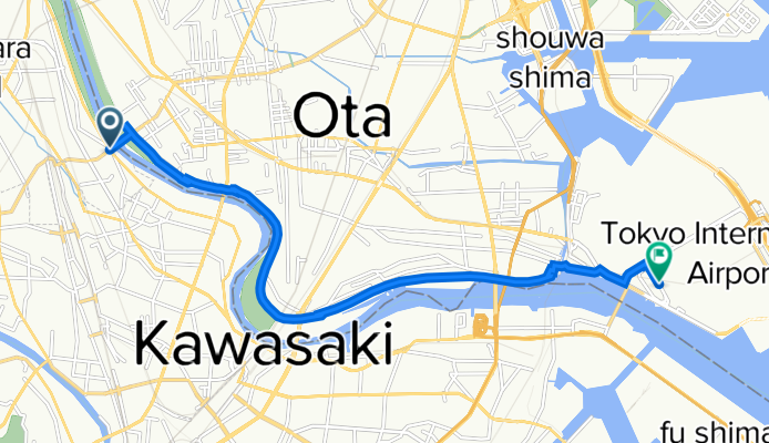

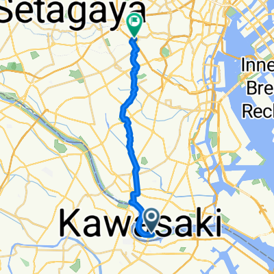
南六郷3丁目, 大田区へ上目黒1丁目, 目黒区
- 15.8 km
- 116 m
- 102 m
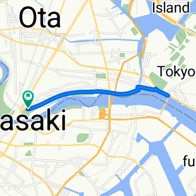
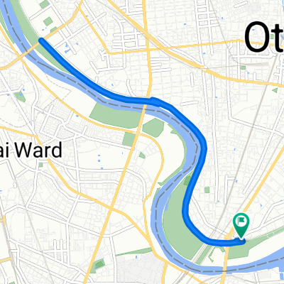
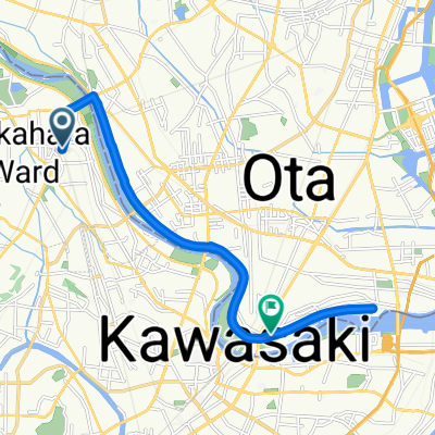
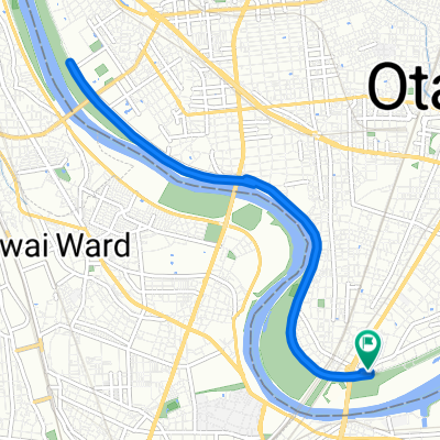
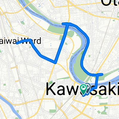
- Kawasaki, Kanagawa, Japan
A cycling route starting in Kawasaki, Kanagawa, Japan.
Overview
created this 6 years ago
Route quality
Cycleway
7.4 km
(61 %)
Pedestrian area
2.3 km
(19 %)
Paved
6 km
(50 %)
Paved (undefined)
4.6 km
(38 %)
Asphalt
1.4 km
(12 %)
Undefined
6 km
(50 %)
Continue with Bikemap
You would like to ride 川崎ガス橋→羽田空港国際線ターミナル or customize it for your own trip? Here is what you can do with this Bikemap route:
Free trial for 3 days, or one-time payment. More about Bikemap Premium.
Discover more Premium features.
Get Bikemap PremiumFrom our community
Open it in the app