pogogo
- 3.9 km
- 19 m
- 19 m
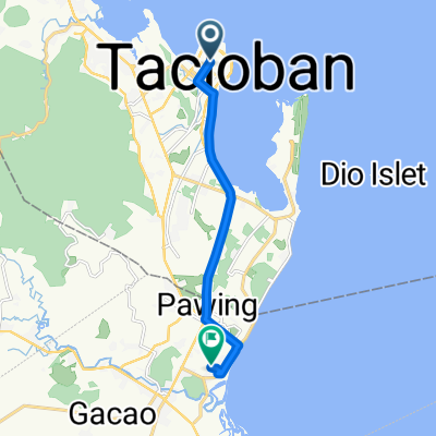
- Panalanoy, Region VIII, Philippines
A cycling route starting in Panalanoy, Region VIII, Philippines.
Overview
Day 18 - Sunday, January 27, 2019 - Tacloban - Carigara
Distance traveled: 72.66 km - Average speed: 15.37 km/h
Elevation gain: 380 m - Maximum uphill gradient: 13 %
Elevation loss: 380 m - Maximum downhill gradient: 12 %
Starting altitude: 7 m - Arrival altitude: 7 m - Maximum altitude: 52 m
Wake-up time: 6:30 - Departure time: 8:13 - Arrival time: 14:00
created this 6 years ago
Route quality
Quiet road
5.2 km
(7 %)
Cycleway
3.7 km
(5 %)
Paved
29.4 km
(40 %)
Unpaved
0.7 km
(1 %)
Asphalt
14.7 km
(20 %)
Paved (undefined)
7.4 km
(10 %)
Continue with Bikemap
You would like to ride J18 - dimanche 27 janvier 2019 - Tacloban - Carigara or customize it for your own trip? Here is what you can do with this Bikemap route:
Free trial for 3 days, or one-time payment. More about Bikemap Premium.
Discover more Premium features.
Get Bikemap PremiumFrom our community
Open it in the app