

Sovicille - Colle Val D'elsa - San Gimignano - Volterra - Cecina
A cycling route starting in Sovicille, Tuscany, Italy.
Overview
About this route
Nineth leg: Sovicille - Colle Val D'elsa - San Gimignano - Volterra - Cecina
- -:--
- Duration
- 120.2 km
- Distance
- 1,731 m
- Ascent
- 1,956 m
- Descent
- ---
- Avg. speed
- 545 m
- Max. altitude
Route quality
Waytypes & surfaces along the route
Waytypes
Quiet road
13.2 km
(11 %)
Road
6 km
(5 %)
Surfaces
Paved
101 km
(84 %)
Unpaved
3.6 km
(3 %)
Asphalt
99.8 km
(83 %)
Unpaved (undefined)
2.4 km
(2 %)
Continue with Bikemap
Use, edit, or download this cycling route
You would like to ride Sovicille - Colle Val D'elsa - San Gimignano - Volterra - Cecina or customize it for your own trip? Here is what you can do with this Bikemap route:
Free features
- Save this route as favorite or in collections
- Copy & plan your own version of this route
- Split it into stages to create a multi-day tour
- Sync your route with Garmin or Wahoo
Premium features
Free trial for 3 days, or one-time payment. More about Bikemap Premium.
- Navigate this route on iOS & Android
- Export a GPX / KML file of this route
- Create your custom printout (try it for free)
- Download this route for offline navigation
Discover more Premium features.
Get Bikemap PremiumFrom our community
Other popular routes starting in Sovicille
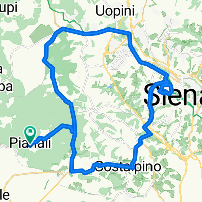
 Die erste Tuor gleich nach der Ankunft in Italien
- Distance
- 25.8 km
- Ascent
- 253 m
- Descent
- 257 m
- Location
- Sovicille, Tuscany, Italy
 Roadbike T3 Turm-Treffen
- Distance
- 126.1 km
- Ascent
- 2,249 m
- Descent
- 2,242 m
- Location
- Sovicille, Tuscany, Italy
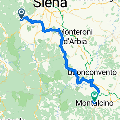 Von Sovicille bis Montalcino
- Distance
- 55.2 km
- Ascent
- 1,371 m
- Descent
- 1,074 m
- Location
- Sovicille, Tuscany, Italy
 Unsere letzte Tuor nach Siena
- Distance
- 27.9 km
- Ascent
- 408 m
- Descent
- 408 m
- Location
- Sovicille, Tuscany, Italy
 Gran tour della Val di Merse on GPSies.com
- Distance
- 141.6 km
- Ascent
- 3,226 m
- Descent
- 3,226 m
- Location
- Sovicille, Tuscany, Italy
 04.08.2011 1000 Höhenmeter in Italien
- Distance
- 60.3 km
- Ascent
- 938 m
- Descent
- 938 m
- Location
- Sovicille, Tuscany, Italy
 Sovicille - Colle Val D'elsa - San Gimignano - Volterra - Cecina
- Distance
- 120.2 km
- Ascent
- 1,731 m
- Descent
- 1,956 m
- Location
- Sovicille, Tuscany, Italy
 Peng da war die Kette weg
- Distance
- 29 km
- Ascent
- 393 m
- Descent
- 389 m
- Location
- Sovicille, Tuscany, Italy
Open it in the app