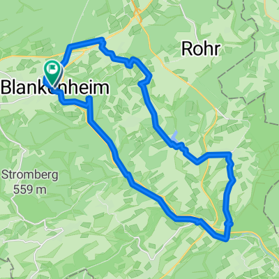
Erft-Ahr-Rhein
EAR04_Blankenheim-Altenahr
A cycling route starting in Blankenheim, North Rhine-Westphalia, Germany.
Overview
About this route
Start: Blankenheim
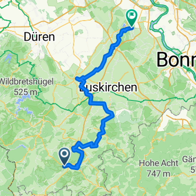
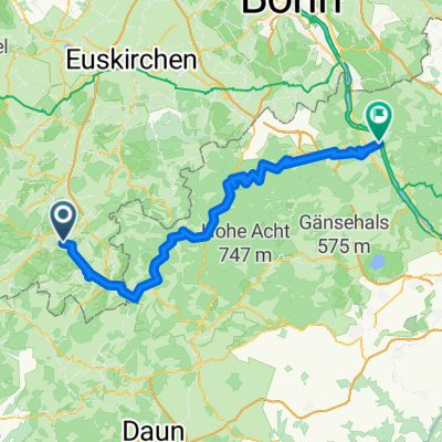
Über: Ahrhütte - Ahrdorf - Müsch - Fuchshofen - Schuld - Hönningen - Brück - Altenburg - Altenahr
Ziel: Altenahr
- -:--
- Duration
- 49.9 km
- Distance
- 125 m
- Ascent
- 485 m
- Descent
- ---
- Avg. speed
- ---
- Max. altitude
Part of
Erft-Ahr-Rhein
8 stages
Route quality
Waytypes & surfaces along the route
Waytypes
Track
16 km
(32 %)
Path
12 km
(24 %)
Surfaces
Paved
28.9 km
(58 %)
Unpaved
8.5 km
(17 %)
Asphalt
20.5 km
(41 %)
Paved (undefined)
8.5 km
(17 %)
Continue with Bikemap
Use, edit, or download this cycling route
You would like to ride EAR04_Blankenheim-Altenahr or customize it for your own trip? Here is what you can do with this Bikemap route:
Free features
- Save this route as favorite or in collections
- Copy & plan your own version of this route
- Sync your route with Garmin or Wahoo
Premium features
Free trial for 3 days, or one-time payment. More about Bikemap Premium.
- Navigate this route on iOS & Android
- Export a GPX / KML file of this route
- Create your custom printout (try it for free)
- Download this route for offline navigation
Discover more Premium features.
Get Bikemap PremiumFrom our community
Other popular routes starting in Blankenheim
18 Ahrtalradroute- Distance
- 85 km
- Ascent
- 87 m
- Descent
- 519 m
- Location
- Blankenheim, North Rhine-Westphalia, Germany
Erfttour 2016- Distance
- 126.9 km
- Ascent
- 80 m
- Descent
- 538 m
- Location
- Blankenheim, North Rhine-Westphalia, Germany
Am Freilinger See nach K69- Distance
- 19.8 km
- Ascent
- 256 m
- Descent
- 277 m
- Location
- Blankenheim, North Rhine-Westphalia, Germany
Tour de Natur (Nordeifel)- Distance
- 53.4 km
- Ascent
- 105 m
- Descent
- 484 m
- Location
- Blankenheim, North Rhine-Westphalia, Germany
Ahr Radweg- Distance
- 80.4 km
- Ascent
- 146 m
- Descent
- 576 m
- Location
- Blankenheim, North Rhine-Westphalia, Germany
Ahr-Radweg- Distance
- 131.3 km
- Ascent
- 1,695 m
- Descent
- 2,120 m
- Location
- Blankenheim, North Rhine-Westphalia, Germany
Blankenheim - Rundkurs- Distance
- 32.8 km
- Ascent
- 576 m
- Descent
- 576 m
- Location
- Blankenheim, North Rhine-Westphalia, Germany
Koblenzer Straße, Blankenheim nach Rathausplatz, Blankenheim- Distance
- 29.3 km
- Ascent
- 490 m
- Descent
- 491 m
- Location
- Blankenheim, North Rhine-Westphalia, Germany
Open it in the app


