
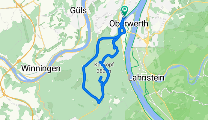
Winter
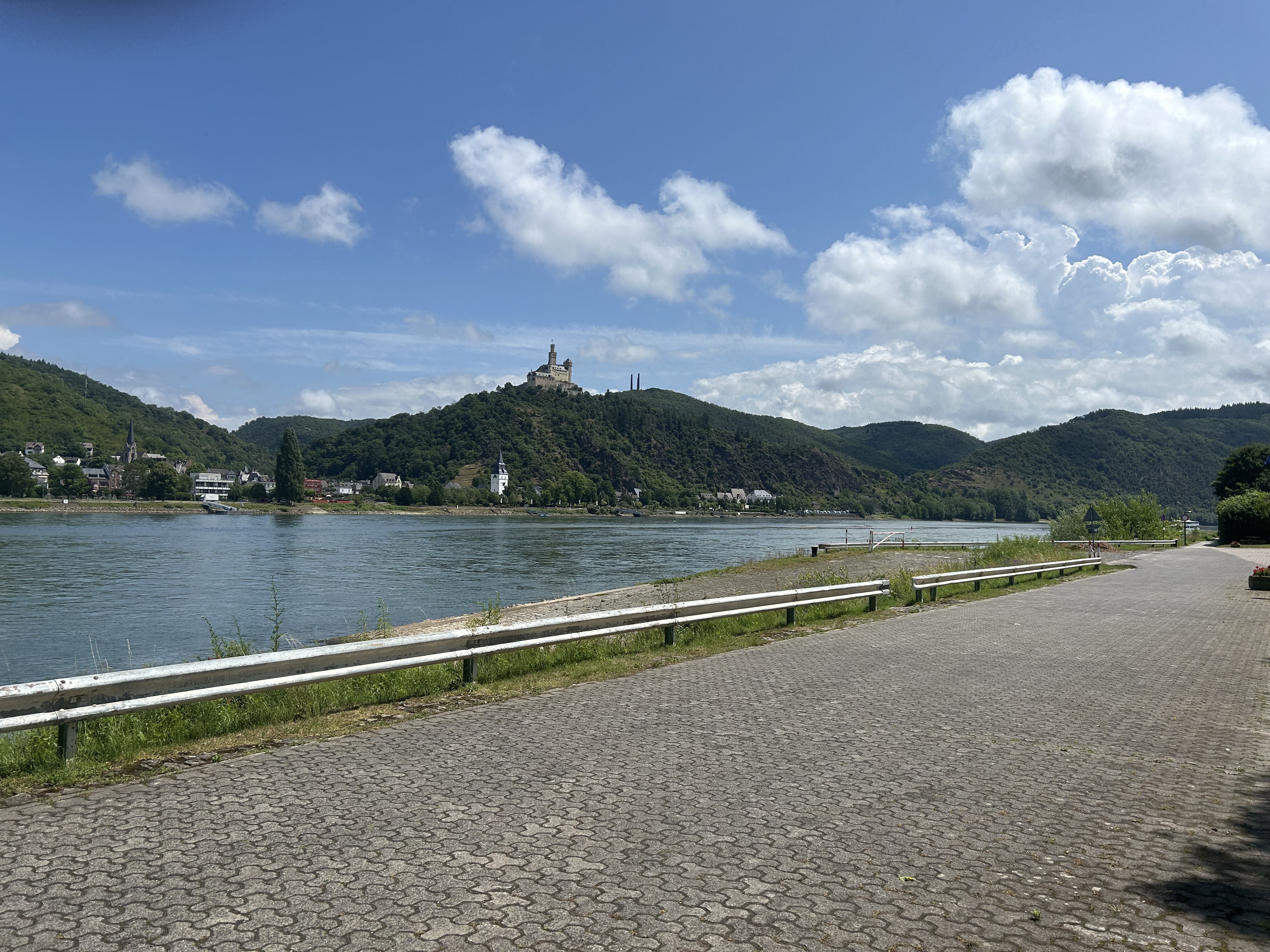
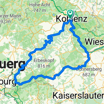
A cycling route starting in Koblenz, Rhineland-Palatinate, Germany.
Overview
About this route
- -:--
- Duration
- 15.5 km
- Distance
- 360 m
- Ascent
- 360 m
- Descent
- ---
- Avg. speed
- ---
- Max. altitude

Continue with Bikemap
Use, edit, or download this cycling route
You would like to ride Winter or customize it for your own trip? Here is what you can do with this Bikemap route:
Free features
- Save this route as favorite or in collections
- Copy & plan your own version of this route
- Sync your route with Garmin or Wahoo
Premium features
Free trial for 3 days, or one-time payment. More about Bikemap Premium.
- Navigate this route on iOS & Android
- Export a GPX / KML file of this route
- Create your custom printout (try it for free)
- Download this route for offline navigation
Discover more Premium features.
Get Bikemap PremiumFrom our community
Other popular routes starting in Koblenz
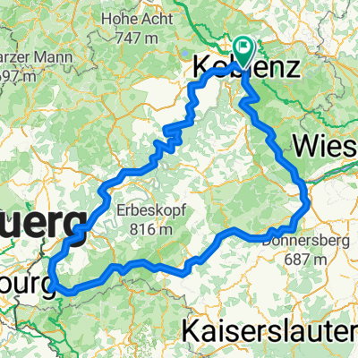
 KO-Oberwerth-Loreley
- Distance
- 68.2 km
- Ascent
- 345 m
- Descent
- 341 m
- Location
- Koblenz, Rhineland-Palatinate, Germany
- Von Mayen (Osteifel) nach Koblenz (Rhein)
- Distance
- 54.9 km
- Ascent
- 421 m
- Descent
- 223 m
- Location
- Koblenz, Rhineland-Palatinate, Germany
 Roman Gebbi
- Distance
- 417.8 km
- Ascent
- 5,302 m
- Descent
- 5,303 m
- Location
- Koblenz, Rhineland-Palatinate, Germany
 moseltour trier - koblenz
- Distance
- 205.6 km
- Ascent
- 554 m
- Descent
- 483 m
- Location
- Koblenz, Rhineland-Palatinate, Germany
 Weißenthurm - Altstadt Sud
- Distance
- 94.4 km
- Ascent
- 460 m
- Descent
- 482 m
- Location
- Koblenz, Rhineland-Palatinate, Germany
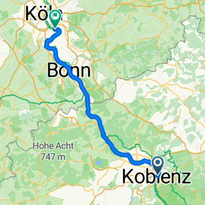
 #16 Koblenz to Bonn
- Distance
- 70.7 km
- Ascent
- 59 m
- Descent
- 66 m
- Location
- Koblenz, Rhineland-Palatinate, Germany
 Koblenz naar Hindenburganlage, Bingen am Rhein
- Distance
- 61.5 km
- Ascent
- 194 m
- Descent
- 168 m
- Location
- Koblenz, Rhineland-Palatinate, Germany
 Roman Gebbi
- Distance
- 403 km
- Ascent
- 5,182 m
- Descent
- 5,184 m
- Location
- Koblenz, Rhineland-Palatinate, Germany

Open it in the app