- 18.3 km
- 105 m
- 106 m
- Porto Recanati, The Marches, Italy
Porto Recanati-Potenza Picena-Macerata-Porto S.Elpidio-P. Recanati
A cycling route starting in Porto Recanati, The Marches, Italy.
Overview
About this route
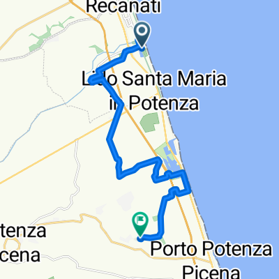
Da Porto Recanati si percorre il lungomare, poi si devia a dx per andare a prendere la pista ciclabile fiume Potenza. Facciamo una deviazione per Potenza Picena, per raggiungere San Firmano (ed ammirare la bella Abbazia). Ora raggiungiamo Montelupone ed arriviamo a Macerata. Proseguiamo per Corridonia, poi Monte San Giusto, Montegranaro, Porto Sant'Elpidio. Si risale verso nordo seguendo la ciclovia Adriatica per tornare a Porto Recanati.
- -:--
- Duration
- 109.2 km
- Distance
- 1,038 m
- Ascent
- 1,041 m
- Descent
- ---
- Avg. speed
- ---
- Max. altitude
created this 6 years ago
Route quality
Waytypes & surfaces along the route
Waytypes
Quiet road
30.6 km
(28 %)
Road
27.3 km
(25 %)
Surfaces
Paved
79.7 km
(73 %)
Unpaved
2.2 km
(2 %)
Asphalt
73.2 km
(67 %)
Concrete
6.6 km
(6 %)
Continue with Bikemap
Use, edit, or download this cycling route
You would like to ride Porto Recanati-Potenza Picena-Macerata-Porto S.Elpidio-P. Recanati or customize it for your own trip? Here is what you can do with this Bikemap route:
Free features
- Save this route as favorite or in collections
- Copy & plan your own version of this route
- Split it into stages to create a multi-day tour
- Sync your route with Garmin or Wahoo
Premium features
Free trial for 3 days, or one-time payment. More about Bikemap Premium.
- Navigate this route on iOS & Android
- Export a GPX / KML file of this route
- Create your custom printout (try it for free)
- Download this route for offline navigation
Discover more Premium features.
Get Bikemap PremiumFrom our community
Other popular routes starting in Porto Recanati
- Campagne del Conero
- Scossicci-San Lorenzo-Raggetti-San Andrea
- 32.9 km
- 517 m
- 518 m
- Porto Recanati, The Marches, Italy
- Castelfidardo - Martinsicuro
- 96.8 km
- 464 m
- 463 m
- Porto Recanati, The Marches, Italy
- Porto Recanati - Monte Conero
- 39.1 km
- 637 m
- 636 m
- Porto Recanati, The Marches, Italy
- Da Via della Repubblica a Contrada Pamperduto
- 14.5 km
- 202 m
- 132 m
- Porto Recanati, The Marches, Italy
- Da Corso Giacomo Matteotti 161, Porto Recanati a Via XXIV Maggio 2, Porto Recanati
- 30.4 km
- 255 m
- 302 m
- Porto Recanati, The Marches, Italy
- Da Corso Giacomo Matteotti 145/B a Via XXIV Maggio
- 50.1 km
- 749 m
- 790 m
- Porto Recanati, The Marches, Italy
- WayPoint al MARE
- 39.1 km
- 271 m
- 269 m
- Porto Recanati, The Marches, Italy
Open it in the app


