

Todi-Marsciano-Spello-Foligno-Colfiorito
A cycling route starting in Todi, Umbria, Italy.
Overview
About this route
From Todi, the bike route mostly follows the Tiber River to Marsciano, Deruta, and Torgiano. Here we turn east towards Bettona, then Passaggio and Santa Maria degli Angeli (at the foot of Assisi). We detour to Rivotorto, then descend southeast to connect with the Via degli Ulivi which will lead us to Spello. We cross the town and head for Foligno. Now the hard part of the route begins as we climb to Colfiorito. If it's late or we're tired, it's advisable to take the daily stop here.
We leave Foligno following the cycle path along the Topino River, reaching Scanzano, Belfiore, and Oasi dell'Altolina. Here we take a path that, with a wide detour, leads us to Pale (there is a more direct path but it should be done on foot). Here in Pale, there would also be the possibility to stop for the night at a guesthouse if there is space. We continue to Ponte Santa Lucia (also here there is a stopping option) and we climb further to Sostino. Now begins a long stretch of gravel of about 10 km (half uphill) to Forcatura. We are now close to the finish; we pass through Molinaccio and arrive at Colfiorito (possible stop at the hotel Lieta Sosta).
- -:--
- Duration
- 108.6 km
- Distance
- 1,080 m
- Ascent
- 720 m
- Descent
- ---
- Avg. speed
- ---
- Max. altitude
Route quality
Waytypes & surfaces along the route
Waytypes
Quiet road
45.6 km
(42 %)
Track
18.5 km
(17 %)
Surfaces
Paved
23.9 km
(22 %)
Unpaved
15.2 km
(14 %)
Asphalt
23.9 km
(22 %)
Gravel
10.9 km
(10 %)
Continue with Bikemap
Use, edit, or download this cycling route
You would like to ride Todi-Marsciano-Spello-Foligno-Colfiorito or customize it for your own trip? Here is what you can do with this Bikemap route:
Free features
- Save this route as favorite or in collections
- Copy & plan your own version of this route
- Split it into stages to create a multi-day tour
- Sync your route with Garmin or Wahoo
Premium features
Free trial for 3 days, or one-time payment. More about Bikemap Premium.
- Navigate this route on iOS & Android
- Export a GPX / KML file of this route
- Create your custom printout (try it for free)
- Download this route for offline navigation
Discover more Premium features.
Get Bikemap PremiumFrom our community
Other popular routes starting in Todi
 TODI 4 (ADV) - Bastardo
- Distance
- 55.6 km
- Ascent
- 899 m
- Descent
- 915 m
- Location
- Todi, Umbria, Italy
 TODI 3 (ADV+) - Monte Castro di Vibio
- Distance
- 58.8 km
- Ascent
- 967 m
- Descent
- 986 m
- Location
- Todi, Umbria, Italy
 Anelli di Todi - Monte Castello di Vibio
- Distance
- 40.2 km
- Ascent
- 761 m
- Descent
- 761 m
- Location
- Todi, Umbria, Italy
 Todi-Marsciano-Ponte S.Giovanni-Umbertide
- Distance
- 96.5 km
- Ascent
- 285 m
- Descent
- 449 m
- Location
- Todi, Umbria, Italy
 Todi to Perugia
- Distance
- 53.7 km
- Ascent
- 801 m
- Descent
- 1,005 m
- Location
- Todi, Umbria, Italy
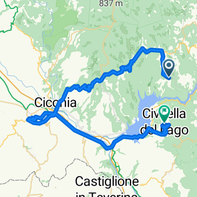 Titignano Orvieto Civitella del Lavo
- Distance
- 52.9 km
- Ascent
- 979 m
- Descent
- 1,024 m
- Location
- Todi, Umbria, Italy
 TODI 2 (ADV+) - Avigliano Umbro
- Distance
- 56.6 km
- Ascent
- 1,008 m
- Descent
- 1,002 m
- Location
- Todi, Umbria, Italy
 La Roccaccia
- Distance
- 10 km
- Ascent
- 484 m
- Descent
- 485 m
- Location
- Todi, Umbria, Italy
Open it in the app