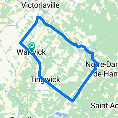
Fin de saison
- 34.5 km
- 291 m
- 290 m
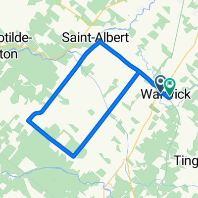
- Warwick, Quebec, Canada
A cycling route starting in Warwick, Quebec, Canada.
Overview
This route consists of 36 km (77%) gravel roads and 11 km (23%) paved roads. Intermediate level circuit.
created this 6 years ago
Route quality
Quiet road
18.4 km
(39 %)
Road
14.6 km
(31 %)
Cycleway
14.1 km
(30 %)
Paved
14.1 km
(30 %)
Unpaved
33 km
(70 %)
Unpaved (undefined)
17.4 km
(37 %)
Gravel
15.5 km
(33 %)
Route highlights
Point de vue
Halte : Ferme des Hautes Terres Table et eau
Municipalité de Tingwick Dépanneur, hébergement et réparation de vélo.
Dépanneur du coin Dépannage vélo avec trousse mécanique et vente de produits.
Halte
Halte
Halte de la Station Stationnement, table, eau et toilette. Réparation de vélo Station biciborne.
Halte
Halte
Ville de Warwick Hébergement, restaurant et accommodation.
Départ ; Maison de la culture/Halte-vélo 169, rue Saint-Louis, Warwick Stationnement, bâtiment de services, eau, toilette, dépannage vélo avec trousse mécanique et information touristique.
Continue with Bikemap
You would like to ride L'agri-cool (Gravel Bike) or customize it for your own trip? Here is what you can do with this Bikemap route:
Free trial for 3 days, or one-time payment. More about Bikemap Premium.
Discover more Premium features.
Get Bikemap PremiumFrom our community
Open it in the app