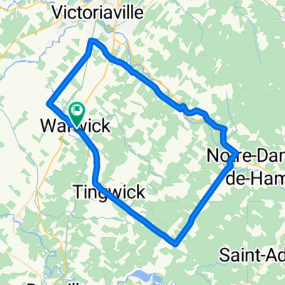
Route des Saveurs CLONED FROM ROUTE 112960
- 65 km
- 645 m
- 645 m
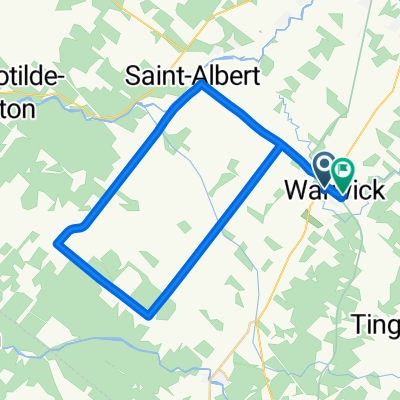
- Warwick, Quebec, Canada
A cycling route starting in Warwick, Quebec, Canada.
Overview
Ce circuit est composé de 47,5 km (79%) de routes gravelées et de 12,5 km (21%) de routes asphaltées. Ce circuit est de niveau élite.
created this 6 years ago
Route quality
Road
43.1 km
(72 %)
Quiet road
12 km
(20 %)
Undefined
4.8 km
(8 %)
Paved
9.6 km
(16 %)
Unpaved
50.2 km
(84 %)
Unpaved (undefined)
50.2 km
(84 %)
Asphalt
6 km
(10 %)
Paved (undefined)
3.6 km
(6 %)
Route highlights
Halte : Parc Marcel Fecteau Abri, table, eau et toilette.
Municipalité de Chesterville Dépanneur et hébergement.
Camping Centre de plein-air Val Chester
Point de vue
Point de vue
Municipalité de Ham-Nord Hébergement, restaurant et épicerie
Halte : Parc du 150 ième Abri, table, eau et toilette.
Marché Bonichoix Dépannage vélo avec trousse mécanique, vente de produits, eau et toilette. épicerie.
Point de vue
Marché Garneau, épicerie Dépannage vélo avec trousse mécanique, vente de produits et toilette.
Municipalité de Sainte-Hélène -de-Chester Hébergement et restauration.
Point de vue
Coop de Solidarité de Chesterville. Dépanneur Services : Dépannage vélo avec trousse mécanique, vente de produits, eau et toilette. dépanneur.
Continue with Bikemap
You would like to ride Les mollets rouges (Gravel Bike) or customize it for your own trip? Here is what you can do with this Bikemap route:
Free trial for 3 days, or one-time payment. More about Bikemap Premium.
Discover more Premium features.
Get Bikemap PremiumFrom our community
Open it in the app