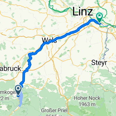
Salzburg 3 Gmunden-Linz
- 80.5 km
- 433 m
- 591 m
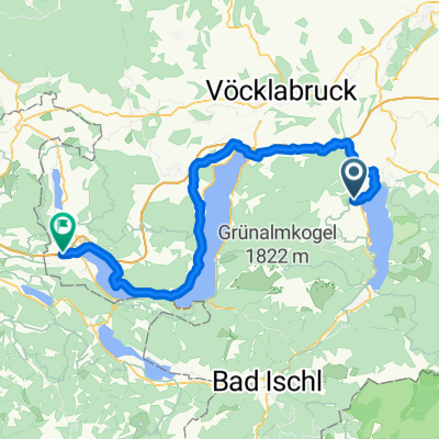
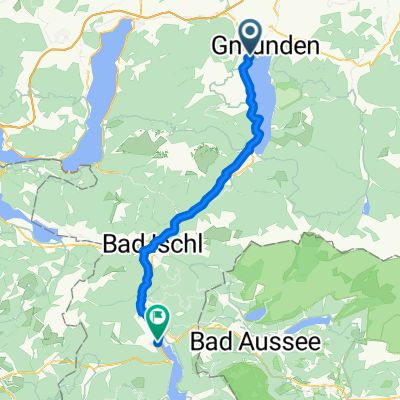
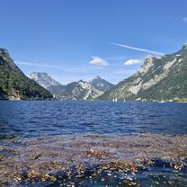
- Altmünster, Upper Austria, Austria
A cycling route starting in Altmünster, Upper Austria, Austria.
Overview
created this 6 years ago
Route quality
Road
41.2 km
(28 %)
Quiet road
22.1 km
(15 %)
Paved
114.8 km
(78 %)
Unpaved
1.5 km
(1 %)
Asphalt
114.8 km
(78 %)
Gravel
1.5 km
(1 %)
Undefined
30.9 km
(21 %)
Continue with Bikemap
You would like to ride CCC2 - 4 Seen-Runde or customize it for your own trip? Here is what you can do with this Bikemap route:
Free trial for 3 days, or one-time payment. More about Bikemap Premium.
Discover more Premium features.
Get Bikemap PremiumFrom our community
Open it in the app