Krkonošská pivní stezka 2018
- 31.3 km
- 612 m
- 1,326 m
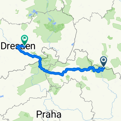
- Podgórzyn, Lower Silesian Voivodeship, Poland
A cycling route starting in Podgórzyn, Lower Silesian Voivodeship, Poland.
Overview
From Przesieka Poland to Přeseka in Czechia
created this 6 years ago
Route quality
Road
96.4 km
(29 %)
Quiet road
66.4 km
(20 %)
Paved
156.2 km
(47 %)
Unpaved
29.9 km
(9 %)
Asphalt
146.2 km
(44 %)
Unpaved (undefined)
13.3 km
(4 %)
Continue with Bikemap
You would like to ride Przesieka-Přeseka 2018 or customize it for your own trip? Here is what you can do with this Bikemap route:
Free trial for 3 days, or one-time payment. More about Bikemap Premium.
Discover more Premium features.
Get Bikemap PremiumFrom our community
Open it in the app