From Penzance to Ubley
- 345.5 km
- 3,908 m
- 3,848 m
- Penzance, England, United Kingdom
A cycling route starting in Penzance, England, United Kingdom.
Overview
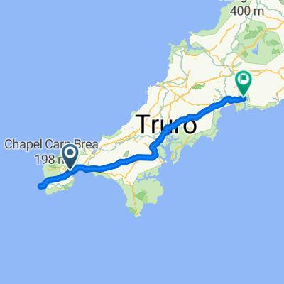
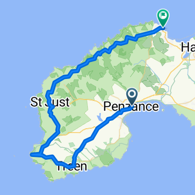
Leg 1 roddy and julian lejog.
Note - two other options near padstow that google maps wont let you do!
take the ferry to rock and cut out the esturary
take the camelford trail along the esturary to wadebridge - level cycling on old railway I think.
created this 16 years ago
Continue with Bikemap
You would like to ride penzance to tintagel or customize it for your own trip? Here is what you can do with this Bikemap route:
Free trial for 3 days, or one-time payment. More about Bikemap Premium.
Discover more Premium features.
Get Bikemap PremiumFrom our community
Open it in the app