

Po Sloveniji 2010, 4. etapa, Brežice - Novo mesto
A cycling route starting in Brežice, Občina Brežice, Slovenia.
Overview
About this route
Cycling race Tour of Slovenia 2010
route of stage 4, Sunday June 20, 2010
157 km
Start in Brežice (water tower), 12:30
Finish in Novo Mesto (Main Square), 15:00 - 16:30 - finishing laps
- -:--
- Duration
- 163.4 km
- Distance
- 602 m
- Ascent
- 580 m
- Descent
- ---
- Avg. speed
- ---
- Max. altitude

Route quality
Waytypes & surfaces along the route
Waytypes
Quiet road
40.9 km
(25 %)
Road
37.6 km
(23 %)
Surfaces
Paved
94.8 km
(58 %)
Unpaved
3.3 km
(2 %)
Asphalt
94.8 km
(58 %)
Unpaved (undefined)
1.6 km
(1 %)
Route highlights
Points of interest along the route

Point of interest after 3 km
START 4. etape, Brežice (162 m)

Point of interest after 44.4 km
Brežice (162 m), 38,3 km, Leteči cilj

Point of interest after 79.9 km
Celine (315 m), 72,6 km, Gorski cilj III. kategorije

Point of interest after 90.6 km
Bučka (290 m), 83,3 km, Gorski cilj III. kategorije

Point of interest after 155.5 km
CILJ 4. etape, Novo mesto (188 m), 157 km + Leteči cilj 125 km, 141 km.
Continue with Bikemap
Use, edit, or download this cycling route
You would like to ride Po Sloveniji 2010, 4. etapa, Brežice - Novo mesto or customize it for your own trip? Here is what you can do with this Bikemap route:
Free features
- Save this route as favorite or in collections
- Copy & plan your own version of this route
- Split it into stages to create a multi-day tour
- Sync your route with Garmin or Wahoo
Premium features
Free trial for 3 days, or one-time payment. More about Bikemap Premium.
- Navigate this route on iOS & Android
- Export a GPX / KML file of this route
- Create your custom printout (try it for free)
- Download this route for offline navigation
Discover more Premium features.
Get Bikemap PremiumFrom our community
Other popular routes starting in Brežice
 Topliška cesta 34 to Topliška cesta 34
- Distance
- 21.3 km
- Ascent
- 289 m
- Descent
- 281 m
- Location
- Brežice, Občina Brežice, Slovenia
 Brezice Mountain Biking
- Distance
- 13 km
- Ascent
- 372 m
- Descent
- 373 m
- Location
- Brežice, Občina Brežice, Slovenia
 Route in Brezice
- Distance
- 71.6 km
- Ascent
- 1,052 m
- Descent
- 1,049 m
- Location
- Brežice, Občina Brežice, Slovenia
 Untitled route
- Distance
- 24 km
- Ascent
- 528 m
- Descent
- 471 m
- Location
- Brežice, Občina Brežice, Slovenia
 Čateške toplice - Šentjernej
- Distance
- 62.5 km
- Ascent
- 591 m
- Descent
- 580 m
- Location
- Brežice, Občina Brežice, Slovenia
 Čatež-Kumrovec
- Distance
- 82.4 km
- Ascent
- 595 m
- Descent
- 594 m
- Location
- Brežice, Občina Brežice, Slovenia
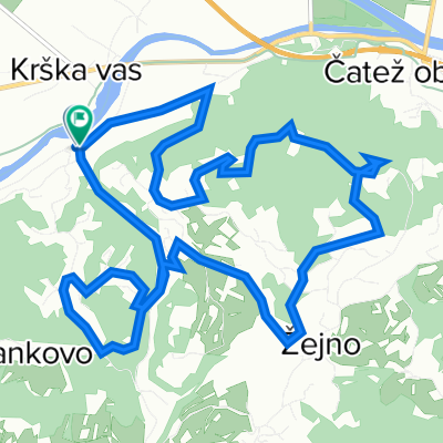
 Krška vas - Goli Cirnik - Sv. Vid - Krška vas
- Distance
- 20 km
- Ascent
- 716 m
- Descent
- 719 m
- Location
- Brežice, Občina Brežice, Slovenia
 Mostec 35a to Mostec 35a
- Distance
- 14.4 km
- Ascent
- 155 m
- Descent
- 159 m
- Location
- Brežice, Občina Brežice, Slovenia
Open it in the app