Červenej armády 54 do Červenej armády 56
- 32.2 km
- 94 m
- 207 m
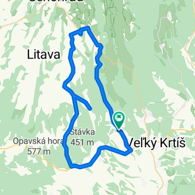
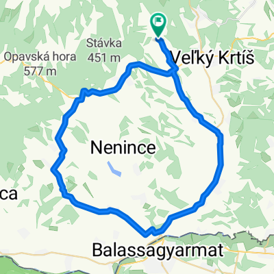
- Veľký Krtíš, Banská Bystrica Region, Slovakia
A cycling route starting in Veľký Krtíš, Banská Bystrica Region, Slovakia.
Overview
Route through the vineyard region around Veľký Krtíš
created this 17 years ago
Route quality
Road
18.2 km
29 %
Quiet road
5.6 km
9 %
Paved
40.1 km
(64 %)
Asphalt
40.1 km
64 %
Undefined
22.5 km
36 %
Continue with Bikemap
You would like to ride Lesenický okruh or customize it for your own trip? Here is what you can do with this Bikemap route:
Free trial for 3 days, or one-time payment. More about Bikemap Premium.
Discover more Premium features.
Get Bikemap PremiumFrom our community
Open it in the app