

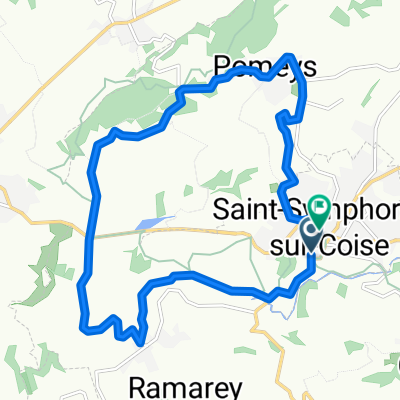
Rue Chanoine Pavailler, Saint-Symphorien-sur-Coise à Rue Chanoine Pavailler, Saint-Symphorien-sur-Coise
- 14.5 km
- 348 m
- 360 m
- Saint-Symphorien-sur-Coise, Auvergne-Rhône-Alpes, France


