

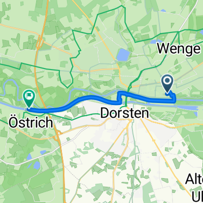
Landpartie - Höfe und Heide erfahren
A cycling route starting in Dorsten, North Rhine-Westphalia, Germany.
Overview
About this route
- -:--
- Duration
- 52 km
- Distance
- 219 m
- Ascent
- 220 m
- Descent
- ---
- Avg. speed
- 73 m
- Max. altitude

Route quality
Waytypes & surfaces along the route
Waytypes
Quiet road
27.6 km
(53 %)
Path
16.7 km
(32 %)
Surfaces
Paved
28.1 km
(54 %)
Unpaved
16.1 km
(31 %)
Asphalt
28.1 km
(54 %)
Loose gravel
9.9 km
(19 %)
Continue with Bikemap
Use, edit, or download this cycling route
You would like to ride Landpartie - Höfe und Heide erfahren or customize it for your own trip? Here is what you can do with this Bikemap route:
Free features
- Save this route as favorite or in collections
- Copy & plan your own version of this route
- Sync your route with Garmin or Wahoo
Premium features
Free trial for 3 days, or one-time payment. More about Bikemap Premium.
- Navigate this route on iOS & Android
- Export a GPX / KML file of this route
- Create your custom printout (try it for free)
- Download this route for offline navigation
Discover more Premium features.
Get Bikemap PremiumFrom our community
Other popular routes starting in Dorsten
 Ab in den Hünxer Wald MTB1
- Distance
- 23.2 km
- Ascent
- 92 m
- Descent
- 92 m
- Location
- Dorsten, North Rhine-Westphalia, Germany
 DorBotHünSch(MTB)
- Distance
- 67.9 km
- Ascent
- 254 m
- Descent
- 253 m
- Location
- Dorsten, North Rhine-Westphalia, Germany
 dorsten Gahlen
- Distance
- 24.8 km
- Ascent
- 1,233 m
- Descent
- 1,212 m
- Location
- Dorsten, North Rhine-Westphalia, Germany
 Finkenweg nach Brückenweg
- Distance
- 6.4 km
- Ascent
- 0 m
- Descent
- 3 m
- Location
- Dorsten, North Rhine-Westphalia, Germany
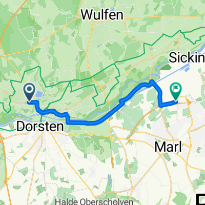 Dorsten - Marl
- Distance
- 13.2 km
- Ascent
- 38 m
- Descent
- 30 m
- Location
- Dorsten, North Rhine-Westphalia, Germany
 Landpartie - Höfe und Heide erfahren
- Distance
- 52 km
- Ascent
- 219 m
- Descent
- 220 m
- Location
- Dorsten, North Rhine-Westphalia, Germany
 Centro Oberhausen
- Distance
- 49.4 km
- Ascent
- 189 m
- Descent
- 189 m
- Location
- Dorsten, North Rhine-Westphalia, Germany
 Naturpark HOHE MARK Route
- Distance
- 141 km
- Ascent
- 141 m
- Descent
- 156 m
- Location
- Dorsten, North Rhine-Westphalia, Germany
Open it in the app