

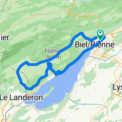
P-Biel/Lyss/Frienisberg (82km)
A cycling route starting in Biel/Bienne, Canton of Bern, Switzerland.
Overview
About this route
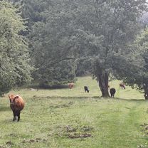
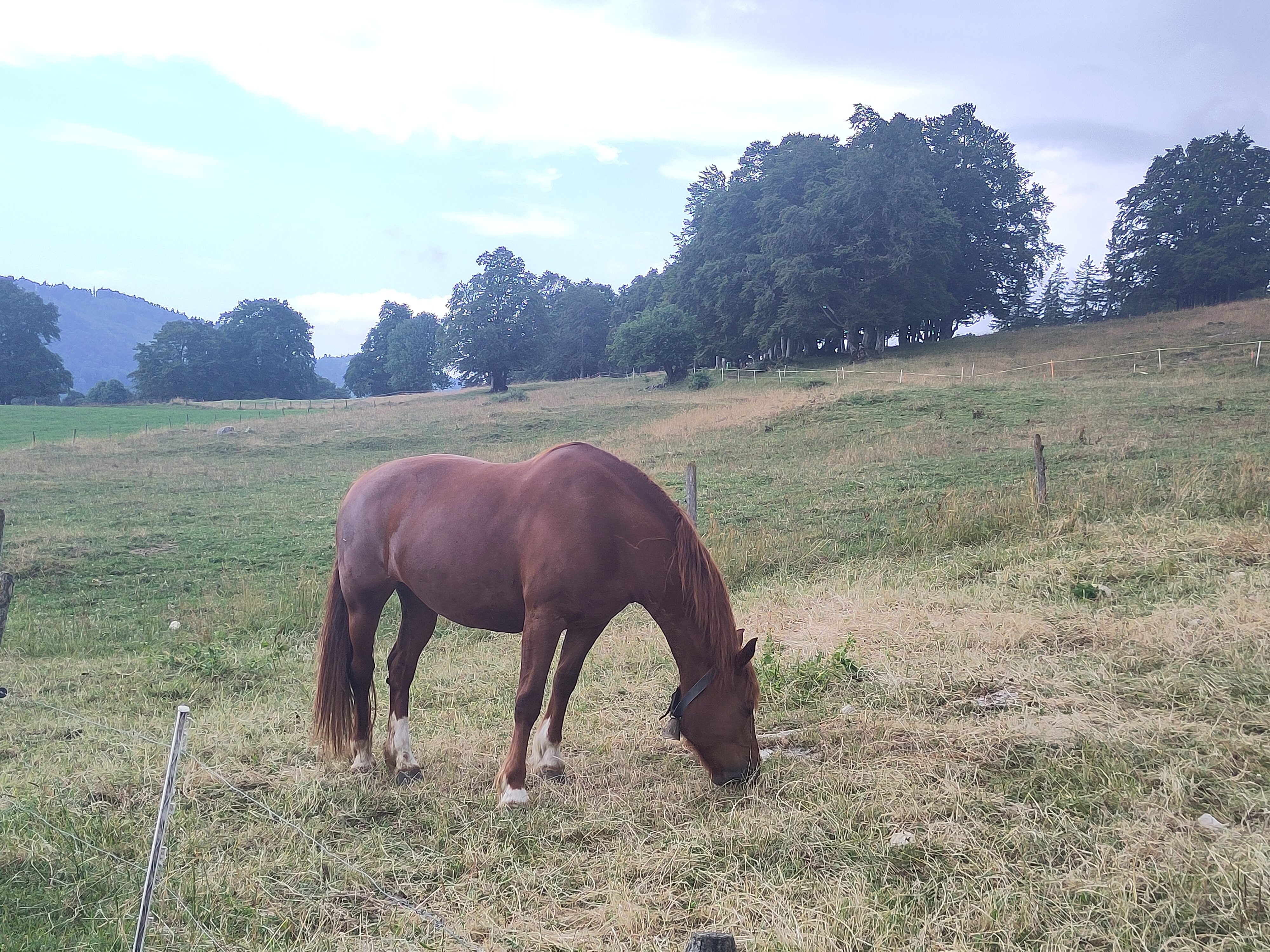
Wonderful route, but you have to be in very good shape to enjoy it. There are 20 km to warm up, then starts the difficult part. After you pass Aarberg there is 4km climb quite difficult (especially you will find 300mt climb with no turns at km 22, totally straight at 11% where you really need good legs). Then 5km downhill and (km 31) almost 2km climb to Wahlendorf really very steep (some parts far more than 15%); you need all your legs to complete. Last climb to Lüterswil (km 55) is also 2km quite steep. Last 20 km are easy, long downhill and few up&downs to go back to Biel/Bienne. In general, this one is wonderful route around Frienisberg hill.
- 5 h 29 min
- Duration
- 83 km
- Distance
- 1,119 m
- Ascent
- 1,119 m
- Descent
- 15.1 km/h
- Avg. speed
- 771 m
- Max. altitude

Route quality
Waytypes & surfaces along the route
Waytypes
Road
24.1 km
(29 %)
Quiet road
18.3 km
(22 %)
Surfaces
Paved
58.1 km
(70 %)
Asphalt
57.3 km
(69 %)
Paved (undefined)
0.8 km
(1 %)
Undefined
24.9 km
(30 %)
Route highlights
Points of interest along the route
Drinking water after 25.1 km
Drinking water after 66.2 km
Drinking water after 66.3 km
Continue with Bikemap
Use, edit, or download this cycling route
You would like to ride P-Biel/Lyss/Frienisberg (82km) or customize it for your own trip? Here is what you can do with this Bikemap route:
Free features
- Save this route as favorite or in collections
- Copy & plan your own version of this route
- Split it into stages to create a multi-day tour
- Sync your route with Garmin or Wahoo
Premium features
Free trial for 3 days, or one-time payment. More about Bikemap Premium.
- Navigate this route on iOS & Android
- Export a GPX / KML file of this route
- Create your custom printout (try it for free)
- Download this route for offline navigation
Discover more Premium features.
Get Bikemap PremiumFrom our community
Other popular routes starting in Biel/Bienne
 Bözingerbergschlaufe+
- Distance
- 41.9 km
- Ascent
- 1,162 m
- Descent
- 1,203 m
- Location
- Biel/Bienne, Canton of Bern, Switzerland
 P-Biel/Twann/Lignières/Nods/Orvin/Evilard (47 km)
- Distance
- 47.4 km
- Ascent
- 802 m
- Descent
- 802 m
- Location
- Biel/Bienne, Canton of Bern, Switzerland
 Zum Chasseral-Gletscher
- Distance
- 57.2 km
- Ascent
- 1,285 m
- Descent
- 1,329 m
- Location
- Biel/Bienne, Canton of Bern, Switzerland
 P-GRAVEL-Biel-Hagneck-Aarberg-Lyss-Orpund (41 km)
- Distance
- 41.1 km
- Ascent
- 217 m
- Descent
- 214 m
- Location
- Biel/Bienne, Canton of Bern, Switzerland
 Theo's
- Distance
- 25.3 km
- Ascent
- 838 m
- Descent
- 832 m
- Location
- Biel/Bienne, Canton of Bern, Switzerland
 P-Biel/Lyss/Frienisberg (82km)
- Distance
- 83 km
- Ascent
- 1,119 m
- Descent
- 1,119 m
- Location
- Biel/Bienne, Canton of Bern, Switzerland
 P-Biel/Bienne TRACK2 (16km)
- Distance
- 15.5 km
- Ascent
- 242 m
- Descent
- 244 m
- Location
- Biel/Bienne, Canton of Bern, Switzerland
 P-Biel/Twann/Lignieres/Enges/Nods/Twannberg/Macolin/Evilard (60km)
- Distance
- 60.1 km
- Ascent
- 1,143 m
- Descent
- 1,141 m
- Location
- Biel/Bienne, Canton of Bern, Switzerland
Open it in the app