
Cannabike Excursion
A cycling route starting in Arvada, Colorado, United States.
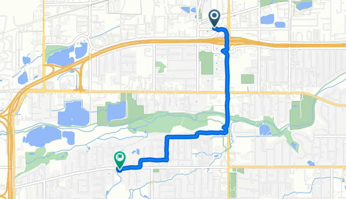
Overview
About this route
- 2 h 51 min
- Duration
- 3.6 km
- Distance
- 261 m
- Ascent
- 243 m
- Descent
- 1.3 km/h
- Avg. speed
- ---
- Max. altitude

Route photos


Continue with Bikemap
Use, edit, or download this cycling route
You would like to ride Cannabike Excursion or customize it for your own trip? Here is what you can do with this Bikemap route:
Free features
- Save this route as favorite or in collections
- Copy & plan your own version of this route
- Sync your route with Garmin or Wahoo
Premium features
Free trial for 3 days, or one-time payment. More about Bikemap Premium.
- Navigate this route on iOS & Android
- Export a GPX / KML file of this route
- Create your custom printout (try it for free)
- Download this route for offline navigation
Discover more Premium features.
Get Bikemap PremiumFrom our community
Other popular routes starting in Arvada
 Relaxed route in Arvada
- Distance
- 19.6 km
- Ascent
- 97 m
- Descent
- 103 m
- Location
- Arvada, Colorado, United States
 darth vada II
- Distance
- 2 km
- Ascent
- 188 m
- Descent
- 176 m
- Location
- Arvada, Colorado, United States
 Arvada greenbelt-roundabout
- Distance
- 1.1 km
- Ascent
- 93 m
- Descent
- 74 m
- Location
- Arvada, Colorado, United States
 Wheatside summer/Kipling Village People
- Distance
- 20.5 km
- Ascent
- 1,062 m
- Descent
- 1,051 m
- Location
- Arvada, Colorado, United States
 Easy ride in Arvada
- Distance
- 36.4 km
- Ascent
- 224 m
- Descent
- 271 m
- Location
- Arvada, Colorado, United States
 8314 Field Ct, Arvada to 7702 Ralston Rd, Arvada
- Distance
- 6.6 km
- Ascent
- 66 m
- Descent
- 119 m
- Location
- Arvada, Colorado, United States
 Cannabike Excursion
- Distance
- 3.6 km
- Ascent
- 261 m
- Descent
- 243 m
- Location
- Arvada, Colorado, United States
 Hidden Prospect Lakes
- Distance
- 6.6 km
- Ascent
- 124 m
- Descent
- 114 m
- Location
- Arvada, Colorado, United States
Open it in the app