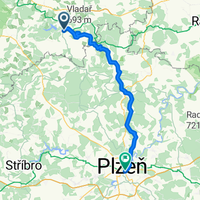
Žlutice, Tchequie / Kynšperk nad Ohří, Tchéquie
A cycling route starting in Žlutice, Karlovarský kraj, Czechia.
Overview
About this route
Autokemp Kynšperk nad Ohří
Pobřežní, 357 51 Kynšperk nad Ohří, Czech Republic
- -:--
- Duration
- 73.3 km
- Distance
- 528 m
- Ascent
- 635 m
- Descent
- ---
- Avg. speed
- ---
- Max. altitude
Route quality
Waytypes & surfaces along the route
Waytypes
Road
18.3 km
(25 %)
Cycleway
17.6 km
(24 %)
Surfaces
Paved
38.8 km
(53 %)
Unpaved
15.4 km
(21 %)
Asphalt
38.8 km
(53 %)
Gravel
13.9 km
(19 %)
Continue with Bikemap
Use, edit, or download this cycling route
You would like to ride Žlutice, Tchequie / Kynšperk nad Ohří, Tchéquie or customize it for your own trip? Here is what you can do with this Bikemap route:
Free features
- Save this route as favorite or in collections
- Copy & plan your own version of this route
- Sync your route with Garmin or Wahoo
Premium features
Free trial for 3 days, or one-time payment. More about Bikemap Premium.
- Navigate this route on iOS & Android
- Export a GPX / KML file of this route
- Create your custom printout (try it for free)
- Download this route for offline navigation
Discover more Premium features.
Get Bikemap PremiumFrom our community
Other popular routes starting in Žlutice
- Kobylé - Valeč - Kobylé
- Distance
- 46.1 km
- Ascent
- 540 m
- Descent
- 540 m
- Location
- Žlutice, Karlovarský kraj, Czechia
- zlutice
- Distance
- 29.8 km
- Ascent
- 520 m
- Descent
- 491 m
- Location
- Žlutice, Karlovarský kraj, Czechia
- RR 16 - 2/2
- Distance
- 53.3 km
- Ascent
- 863 m
- Descent
- 865 m
- Location
- Žlutice, Karlovarský kraj, Czechia
- 2021_12_Zlutice-Zebrák
- Distance
- 83.9 km
- Ascent
- 702 m
- Descent
- 847 m
- Location
- Žlutice, Karlovarský kraj, Czechia
- 7.7.2007
- Distance
- 76.5 km
- Ascent
- 602 m
- Descent
- 602 m
- Location
- Žlutice, Karlovarský kraj, Czechia
- Vladař
- Distance
- 65.6 km
- Ascent
- 767 m
- Descent
- 940 m
- Location
- Žlutice, Karlovarský kraj, Czechia
- Po Střele - ze Žlutic do Plas
- Distance
- 45.4 km
- Ascent
- 391 m
- Descent
- 542 m
- Location
- Žlutice, Karlovarský kraj, Czechia
- de Zlutice a loket du 14 au 15
- Distance
- 49.3 km
- Ascent
- 864 m
- Descent
- 864 m
- Location
- Žlutice, Karlovarský kraj, Czechia
Open it in the app