

1000 Höhenmeter Nordkette
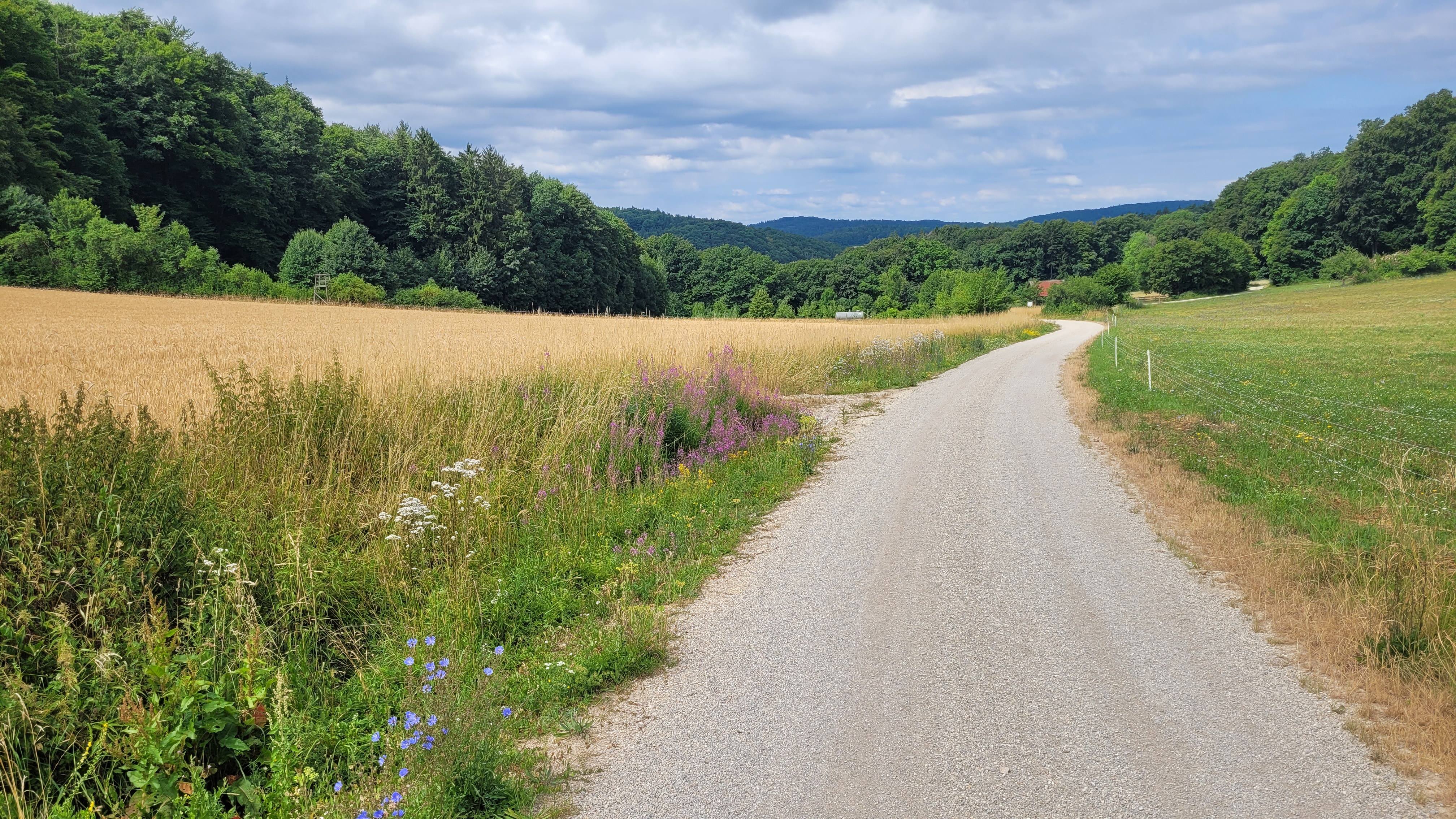
A cycling route starting in Pommelsbrunn, Bavaria, Germany.
Overview
About this route
Quelle und Information siehe www.1000hmr.de
Start und Ziel Bahnhof Pommelsbrunn. Oder gemeinsam mit der Südkette zu bewältigen.
- -:--
- Duration
- 10.6 km
- Distance
- 430 m
- Ascent
- 428 m
- Descent
- ---
- Avg. speed
- ---
- Max. altitude
Route quality
Waytypes & surfaces along the route
Waytypes
Track
4.8 km
(45 %)
Path
4.4 km
(41 %)
Surfaces
Paved
0.7 km
(7 %)
Unpaved
6.2 km
(59 %)
Ground
3.2 km
(30 %)
Unpaved (undefined)
2.1 km
(19 %)
Route highlights
Points of interest along the route
Point of interest after 1.3 km
Naturfreundehaus Pommelsbrunn
Point of interest after 1.7 km
Burgruine Lichtenstein
Point of interest after 4.1 km
Leitenberg 616 müNN
Point of interest after 4.6 km
Kreuzberg 586 müNN
Point of interest after 9.3 km
Zankelstein
Point of interest after 9.3 km
Bastei
Continue with Bikemap
Use, edit, or download this cycling route
You would like to ride 1000 Höhenmeter Nordkette or customize it for your own trip? Here is what you can do with this Bikemap route:
Free features
- Save this route as favorite or in collections
- Copy & plan your own version of this route
- Sync your route with Garmin or Wahoo
Premium features
Free trial for 3 days, or one-time payment. More about Bikemap Premium.
- Navigate this route on iOS & Android
- Export a GPX / KML file of this route
- Create your custom printout (try it for free)
- Download this route for offline navigation
Discover more Premium features.
Get Bikemap PremiumFrom our community
Other popular routes starting in Pommelsbrunn
 Pommelsbrunn RF 4
- Distance
- 21.8 km
- Ascent
- 364 m
- Descent
- 369 m
- Location
- Pommelsbrunn, Bavaria, Germany
 pommelsbrunn_hoehenglueck_windloch_windburg
- Distance
- 32 km
- Ascent
- 835 m
- Descent
- 836 m
- Location
- Pommelsbrunn, Bavaria, Germany
 Pommelsbrunn RF 8
- Distance
- 20.1 km
- Ascent
- 397 m
- Descent
- 393 m
- Location
- Pommelsbrunn, Bavaria, Germany
 Hohenstadt - Christrosen
- Distance
- 4.9 km
- Ascent
- 181 m
- Descent
- 185 m
- Location
- Pommelsbrunn, Bavaria, Germany
 1000 Höhenmeter Nordkette
- Distance
- 10.6 km
- Ascent
- 430 m
- Descent
- 428 m
- Location
- Pommelsbrunn, Bavaria, Germany
 Pegnitztal-Radweg ab Hohenstadt
- Distance
- 25.6 km
- Ascent
- 372 m
- Descent
- 326 m
- Location
- Pommelsbrunn, Bavaria, Germany
 Pommelsbrunn nach Arzloher Straße
- Distance
- 61.6 km
- Ascent
- 1,086 m
- Descent
- 1,085 m
- Location
- Pommelsbrunn, Bavaria, Germany
 D_Bayern_Pommelsbrunn-1000hmr-Südschleife_RR-13.2km-370hm
- Distance
- 13.2 km
- Ascent
- 534 m
- Descent
- 534 m
- Location
- Pommelsbrunn, Bavaria, Germany
Open it in the app