

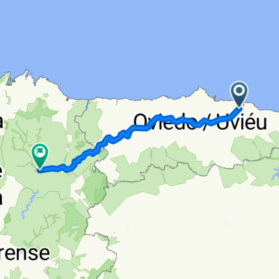
Villaviciosa - Cabranes - Altu La Llama - Colunga - Llastres - Villaviciosa
A cycling route starting in Villaviciosa, Principality of Asturias, Spain.
Overview
About this route
3h 37min
- -:--
- Duration
- 66.9 km
- Distance
- 803 m
- Ascent
- 802 m
- Descent
- ---
- Avg. speed
- ---
- Max. altitude

Route photos

Route quality
Waytypes & surfaces along the route
Waytypes
Cycleway
10 km
(15 %)
Quiet road
5.3 km
(8 %)
Surfaces
Paved
58.8 km
(88 %)
Unpaved
0.7 km
(1 %)
Asphalt
58.8 km
(88 %)
Gravel
0.7 km
(1 %)
Undefined
7.4 km
(11 %)
Continue with Bikemap
Use, edit, or download this cycling route
You would like to ride Villaviciosa - Cabranes - Altu La Llama - Colunga - Llastres - Villaviciosa or customize it for your own trip? Here is what you can do with this Bikemap route:
Free features
- Save this route as favorite or in collections
- Copy & plan your own version of this route
- Sync your route with Garmin or Wahoo
Premium features
Free trial for 3 days, or one-time payment. More about Bikemap Premium.
- Navigate this route on iOS & Android
- Export a GPX / KML file of this route
- Create your custom printout (try it for free)
- Download this route for offline navigation
Discover more Premium features.
Get Bikemap PremiumFrom our community
Other popular routes starting in Villaviciosa
 Villaviciosa - Cabranes - Altu La Llama - Colunga - Llastres - Villaviciosa
- Distance
- 66.9 km
- Ascent
- 803 m
- Descent
- 802 m
- Location
- Villaviciosa, Principality of Asturias, Spain
 9 Villaviciosa - Ribadeo
- Distance
- 182.3 km
- Ascent
- 3,327 m
- Descent
- 3,293 m
- Location
- Villaviciosa, Principality of Asturias, Spain
 Villaviciosa - Alto de La Llama
- Distance
- 188.2 km
- Ascent
- 3,277 m
- Descent
- 2,877 m
- Location
- Villaviciosa, Principality of Asturias, Spain
 El Puntal
- Distance
- 15.3 km
- Ascent
- 42 m
- Descent
- 42 m
- Location
- Villaviciosa, Principality of Asturias, Spain
 2005 (Excursión - Villaviciosa)
- Distance
- 87.5 km
- Ascent
- 1,099 m
- Descent
- 1,096 m
- Location
- Villaviciosa, Principality of Asturias, Spain
 Selorio-Lastres-Colunga
- Distance
- 25.2 km
- Ascent
- 494 m
- Descent
- 370 m
- Location
- Villaviciosa, Principality of Asturias, Spain
 Camino Primitivo Fra kysten til Lugo
- Distance
- 270 km
- Ascent
- 2,891 m
- Descent
- 2,492 m
- Location
- Villaviciosa, Principality of Asturias, Spain
 Villaviciosa - Tazones - Quintueles - Sablera La Ñora - Sablera España - Venta Les Ranes - Villaviciosa
- Distance
- 66.4 km
- Ascent
- 686 m
- Descent
- 684 m
- Location
- Villaviciosa, Principality of Asturias, Spain
Open it in the app