Szálkáról Mecseknádasdra és Ófalun át vissza.
- 55.8 km
- 531 m
- 531 m
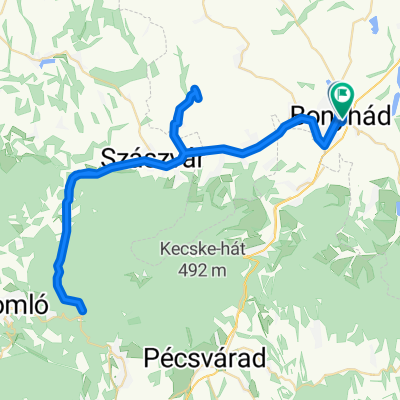
- Bonyhád, Tolna County, Hungary
A cycling route starting in Bonyhád, Tolna County, Hungary.
Overview
Mild weather and dry forest paths along with a spritz wine in Bátapáti.
created this 6 years ago
Route quality
Quiet road
17 km
(41 %)
Track
13.7 km
(33 %)
Paved
22.8 km
(55 %)
Unpaved
6.6 km
(16 %)
Asphalt
18.7 km
(45 %)
Ground
5.4 km
(13 %)
Continue with Bikemap
You would like to ride Tavaszköszöntő Szálka-Ófalu-Szálka túra or customize it for your own trip? Here is what you can do with this Bikemap route:
Free trial for 3 days, or one-time payment. More about Bikemap Premium.
Discover more Premium features.
Get Bikemap PremiumFrom our community
Open it in the app