

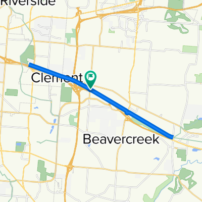
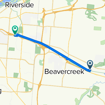
RFW - Bellbrook Rolling Hills
A cycling route starting in Beavercreek, Ohio, United States.
Overview
About this route
This is a 40 mile route home from work that works through some hills in Bellbrook before returning home
Right on Factory
Right on Indian Ripple
Left on S. Alpha Bellbrook
Left on McBee (at Skyland)
Left on Upper Bellbrook
Right on Mead
Right on Stewart Rd
Left on Washington Mill Rd
Left on Lower Bellbrook Rd
Right on Schnebly Rd
Right on Richland Rd
Left on Simison Rd
Right on Schnebly Rd
Left on Bellbrook Ave
Bellbrook St
E Main St
W Spring Valley Painters Rd.
Left on Elam Rd
Left on Richland Rd.
Left on Lower Bellbrook Rd
Right on Spahr Rd
Left on Washington Mill Rd.
Rt on East Franklin St.
- -:--
- Duration
- 60.1 km
- Distance
- 268 m
- Ascent
- 279 m
- Descent
- ---
- Avg. speed
- 296 m
- Max. altitude
Route quality
Waytypes & surfaces along the route
Waytypes
Road
26.4 km
(44 %)
Quiet road
18.6 km
(31 %)
Surfaces
Paved
1.2 km
(2 %)
Unpaved
0.6 km
(1 %)
Asphalt
1.2 km
(2 %)
Gravel
0.6 km
(1 %)
Undefined
58.3 km
(97 %)
Continue with Bikemap
Use, edit, or download this cycling route
You would like to ride RFW - Bellbrook Rolling Hills or customize it for your own trip? Here is what you can do with this Bikemap route:
Free features
- Save this route as favorite or in collections
- Copy & plan your own version of this route
- Sync your route with Garmin or Wahoo
Premium features
Free trial for 3 days, or one-time payment. More about Bikemap Premium.
- Navigate this route on iOS & Android
- Export a GPX / KML file of this route
- Create your custom printout (try it for free)
- Download this route for offline navigation
Discover more Premium features.
Get Bikemap PremiumFrom our community
Other popular routes starting in Beavercreek
 Creekside Trail, Beavercreek to Creekside Trail, Beavercreek
- Distance
- 18.5 km
- Ascent
- 59 m
- Descent
- 58 m
- Location
- Beavercreek, Ohio, United States
 east gate east to Fairborn
- Distance
- 31 km
- Ascent
- 90 m
- Descent
- 90 m
- Location
- Beavercreek, Ohio, United States
 800 Factory Rd, Beavercreek to 3623 Linden Ave, Dayton
- Distance
- 10.2 km
- Ascent
- 45 m
- Descent
- 25 m
- Location
- Beavercreek, Ohio, United States
 Sporty route in Beavercreek
- Distance
- 39.1 km
- Ascent
- 152 m
- Descent
- 154 m
- Location
- Beavercreek, Ohio, United States
 Oxford Craziness
- Distance
- 81.2 km
- Ascent
- 277 m
- Descent
- 283 m
- Location
- Beavercreek, Ohio, United States
 cool route
- Distance
- 78.8 km
- Ascent
- 435 m
- Descent
- 435 m
- Location
- Beavercreek, Ohio, United States
 RFW - Bellbrook Rolling Hills
- Distance
- 60.1 km
- Ascent
- 268 m
- Descent
- 279 m
- Location
- Beavercreek, Ohio, United States
 1854–1898 Spaulding Rd, Kettering to 2001–2157 Wilmington Pike, Kettering
- Distance
- 18.2 km
- Ascent
- 123 m
- Descent
- 97 m
- Location
- Beavercreek, Ohio, United States
Open it in the app