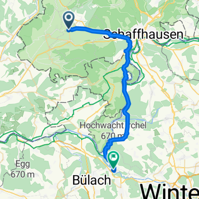
Bahnhofstrasse 1, Neunkirch nach Vordergasse 27, Neunkirch
- 1.8 km
- 14 m
- 66 m
- Neunkirch, Canton of Schaffhausen, Switzerland
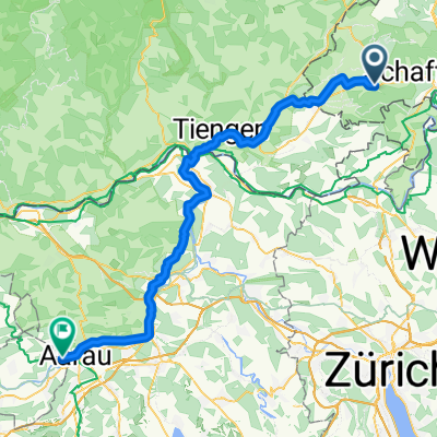
A cycling route starting in Neunkirch, Canton of Schaffhausen, Switzerland.
Overview
created this 6 years ago
Route quality
Road
18 km
(32 %)
Track
15.2 km
(27 %)
Paved
47.2 km
(84 %)
Unpaved
5.6 km
(10 %)
Asphalt
44.4 km
(79 %)
Gravel
3.4 km
(6 %)
Continue with Bikemap
You would like to ride Tössegg or customize it for your own trip? Here is what you can do with this Bikemap route:
Free trial for 3 days, or one-time payment. More about Bikemap Premium.
Discover more Premium features.
Get Bikemap PremiumFrom our community
Open it in the app