

sabtu sehat
A cycling route starting in Ngemplak, Central Java, Indonesia.
Overview
About this route
- 316,389,127,222 h 27 min
- Duration
- 7 km
- Distance
- 195 m
- Ascent
- 208 m
- Descent
- 0 km/h
- Avg. speed
- ---
- Max. altitude
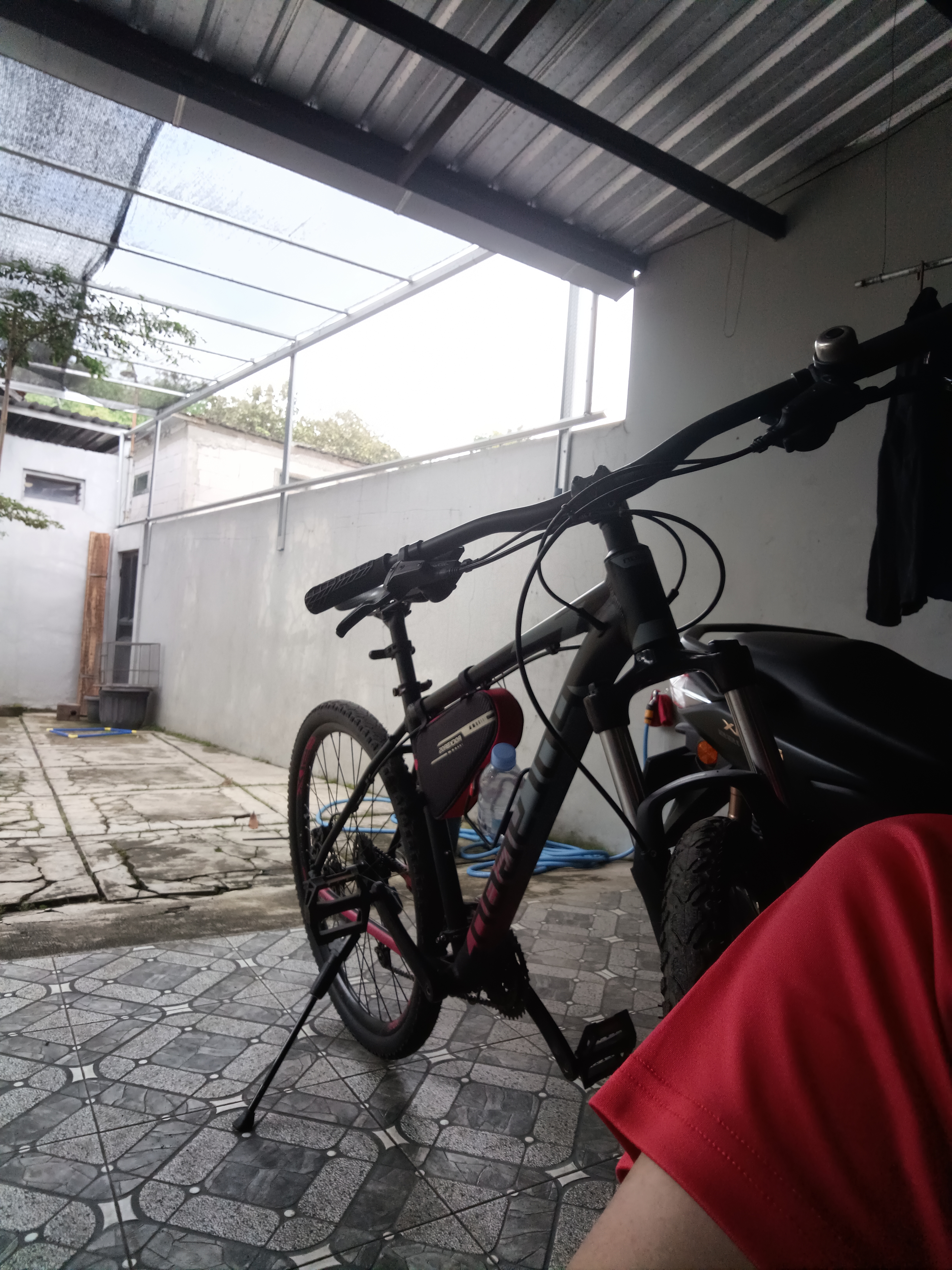
Route photos


Route quality
Waytypes & surfaces along the route
Waytypes
Quiet road
5.9 km
(84 %)
Road
1 km
(15 %)
Surfaces
Paved
1.4 km
(20 %)
Asphalt
1.4 km
(20 %)
Undefined
5.6 km
(80 %)
Continue with Bikemap
Use, edit, or download this cycling route
You would like to ride sabtu sehat or customize it for your own trip? Here is what you can do with this Bikemap route:
Free features
- Save this route as favorite or in collections
- Copy & plan your own version of this route
- Sync your route with Garmin or Wahoo
Premium features
Free trial for 3 days, or one-time payment. More about Bikemap Premium.
- Navigate this route on iOS & Android
- Export a GPX / KML file of this route
- Create your custom printout (try it for free)
- Download this route for offline navigation
Discover more Premium features.
Get Bikemap PremiumFrom our community
Other popular routes starting in Ngemplak
 CPJF+9C9, Kecamatan Gatak to Jalan, Kecamatan Gatak
- Distance
- 1.1 km
- Ascent
- 23 m
- Descent
- 35 m
- Location
- Ngemplak, Central Java, Indonesia
 Jalan Kunden, Kecamatan Kartasura to Jalan Kunden, Kecamatan Kartasura
- Distance
- 14.3 km
- Ascent
- 92 m
- Descent
- 89 m
- Location
- Ngemplak, Central Java, Indonesia
 Jalan Pengging- Banyudono 5, Kecamatan Banyudono to Jalan Raya Candirejo, Kecamatan Borobudur
- Distance
- 99.4 km
- Ascent
- 261 m
- Descent
- 228 m
- Location
- Ngemplak, Central Java, Indonesia
 Unnamed Road, Kecamatan Teras to Gang 1 15, Kecamatan Kartasura
- Distance
- 9.8 km
- Ascent
- 19 m
- Descent
- 117 m
- Location
- Ngemplak, Central Java, Indonesia
 kertonatan - pencingan 100
- Distance
- 27.9 km
- Ascent
- 553 m
- Descent
- 497 m
- Location
- Ngemplak, Central Java, Indonesia
 Jalan Kunden, Kecamatan Kartasura to Jalan Kunden, Kecamatan Kartasura
- Distance
- 34.4 km
- Ascent
- 221 m
- Descent
- 218 m
- Location
- Ngemplak, Central Java, Indonesia
 Jalan Kunden, Kecamatan Kartasura to Jalan Kunden, Kecamatan Kartasura
- Distance
- 32.7 km
- Ascent
- 350 m
- Descent
- 279 m
- Location
- Ngemplak, Central Java, Indonesia
 FM8M+2Q3, Kecamatan Banyudono to FPJF+PXF, Kecamatan Ngemplak
- Distance
- 16.7 km
- Ascent
- 127 m
- Descent
- 187 m
- Location
- Ngemplak, Central Java, Indonesia
Open it in the app