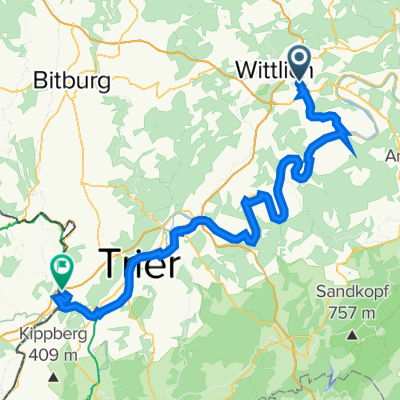
Ostertour 2019
A cycling route starting in Altrich, Rhineland-Palatinate, Germany.
Overview
About this route
- -:--
- Duration
- 130.8 km
- Distance
- 291 m
- Ascent
- 277 m
- Descent
- ---
- Avg. speed
- ---
- Avg. speed
Route quality
Waytypes & surfaces along the route
Waytypes
Path
47.3 km
(36 %)
Access road
23.7 km
(18 %)
Surfaces
Paved
115.9 km
(89 %)
Unpaved
12.3 km
(9 %)
Asphalt
89.5 km
(68 %)
Paved (undefined)
10.7 km
(8 %)
Continue with Bikemap
Use, edit, or download this cycling route
You would like to ride Ostertour 2019 or customize it for your own trip? Here is what you can do with this Bikemap route:
Free features
- Save this route as favorite or in collections
- Copy & plan your own version of this route
- Sync your route with Garmin or Wahoo
Premium features
Free trial for 3 days, or one-time payment. More about Bikemap Premium.
- Navigate this route on iOS & Android
- Export a GPX / KML file of this route
- Create your custom printout (try it for free)
- Download this route for offline navigation
Discover more Premium features.
Get Bikemap PremiumFrom our community
Other popular routes starting in Altrich
- 1/ Wittlich Hbf - camping ERDEN
- Distance
- 13.2 km
- Ascent
- 202 m
- Descent
- 253 m
- Location
- Altrich, Rhineland-Palatinate, Germany
- Ostertour 2019
- Distance
- 130.8 km
- Ascent
- 291 m
- Descent
- 277 m
- Location
- Altrich, Rhineland-Palatinate, Germany
- Südkurve
- Distance
- 34.9 km
- Ascent
- 274 m
- Descent
- 276 m
- Location
- Altrich, Rhineland-Palatinate, Germany
- Daun-Mosel
- Distance
- 59.5 km
- Ascent
- 458 m
- Descent
- 494 m
- Location
- Altrich, Rhineland-Palatinate, Germany
- Andreasstraße 5, Altrich nach Rudolf-Diesel-Straße 17, Wittlich
- Distance
- 4.2 km
- Ascent
- 30 m
- Descent
- 19 m
- Location
- Altrich, Rhineland-Palatinate, Germany
- Runmeter-Hike-20130525-0923.gpx
- Distance
- 6.6 km
- Ascent
- 33 m
- Descent
- 36 m
- Location
- Altrich, Rhineland-Palatinate, Germany
- Wittlich-Unkel
- Distance
- 189.1 km
- Ascent
- 228 m
- Descent
- 313 m
- Location
- Altrich, Rhineland-Palatinate, Germany
- Salmtal - Lieser - Moezel 65 km
- Distance
- 63.3 km
- Ascent
- 491 m
- Descent
- 490 m
- Location
- Altrich, Rhineland-Palatinate, Germany