

Teca kocsmája a hegyen át
A cycling route starting in Óbuda-Békásmegyer, Budapest, Hungary.
Overview
About this route
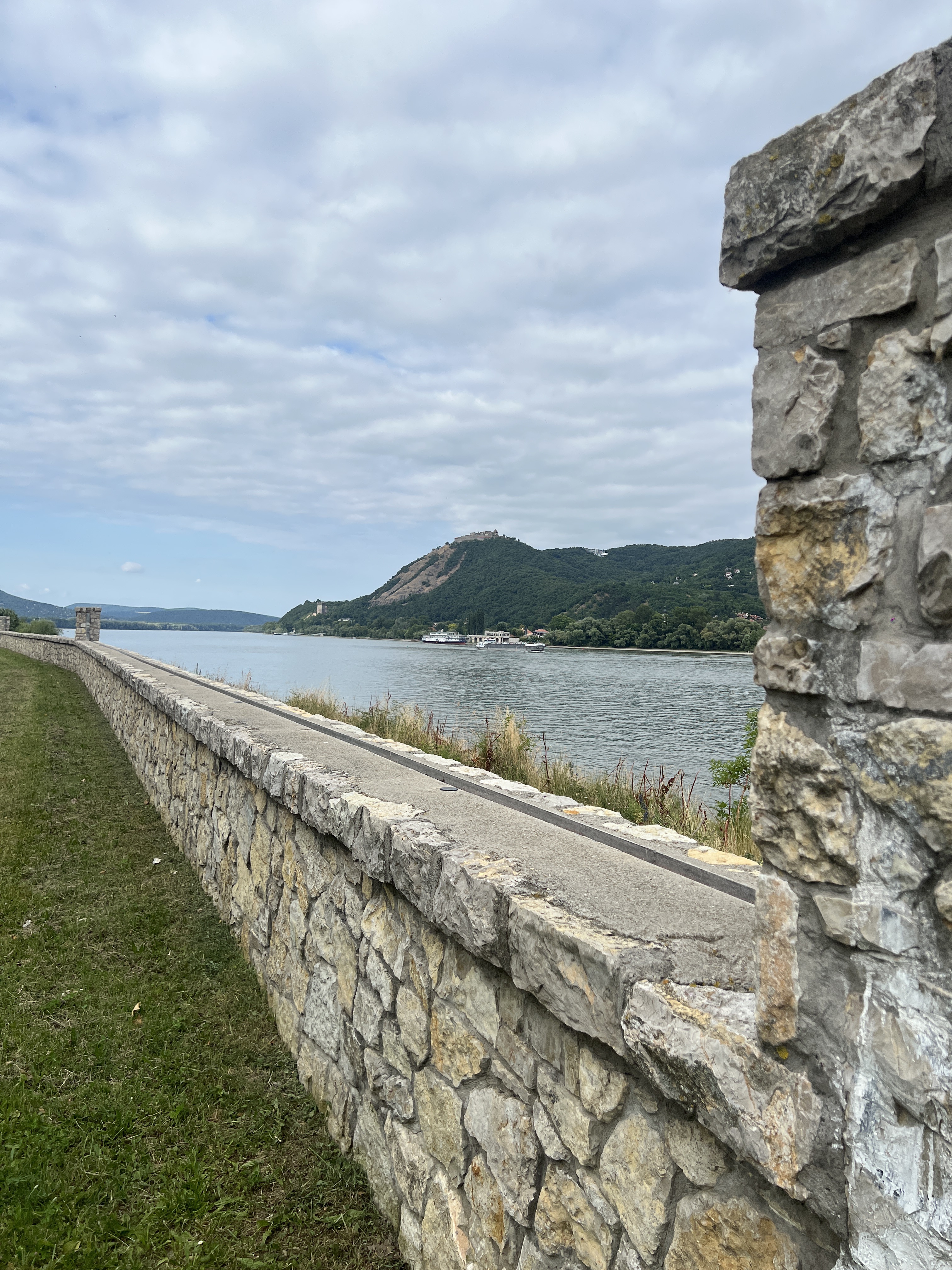
The shorter route to Teca's bar goes over the mountain. On the way back, it's Dobogókő, and then rolling to Margaret Island.
- -:--
- Duration
- 101.4 km
- Distance
- 803 m
- Ascent
- 803 m
- Descent
- ---
- Avg. speed
- ---
- Max. altitude
Route quality
Waytypes & surfaces along the route
Waytypes
Quiet road
30.4 km
(30 %)
Road
14.2 km
(14 %)
Surfaces
Paved
75.1 km
(74 %)
Unpaved
14.2 km
(14 %)
Asphalt
71 km
(70 %)
Ground
9.1 km
(9 %)
Continue with Bikemap
Use, edit, or download this cycling route
You would like to ride Teca kocsmája a hegyen át or customize it for your own trip? Here is what you can do with this Bikemap route:
Free features
- Save this route as favorite or in collections
- Copy & plan your own version of this route
- Split it into stages to create a multi-day tour
- Sync your route with Garmin or Wahoo
Premium features
Free trial for 3 days, or one-time payment. More about Bikemap Premium.
- Navigate this route on iOS & Android
- Export a GPX / KML file of this route
- Create your custom printout (try it for free)
- Download this route for offline navigation
Discover more Premium features.
Get Bikemap PremiumFrom our community
Other popular routes starting in Óbuda-Békásmegyer
 CR | Dömörkapu - Dobogókő
- Distance
- 74.4 km
- Ascent
- 740 m
- Descent
- 741 m
- Location
- Óbuda-Békásmegyer, Budapest, Hungary
 Mura utca, Budapest to Táncsics Mihály utca, Esztergom
- Distance
- 81.3 km
- Ascent
- 332 m
- Descent
- 335 m
- Location
- Óbuda-Békásmegyer, Budapest, Hungary
 Pilis Classic edzőkör
- Distance
- 96.4 km
- Ascent
- 940 m
- Descent
- 942 m
- Location
- Óbuda-Békásmegyer, Budapest, Hungary
 Coffee Ride - Paprét + Szentkereszt
- Distance
- 73.1 km
- Ascent
- 730 m
- Descent
- 728 m
- Location
- Óbuda-Békásmegyer, Budapest, Hungary
 Alternatív rövid könnyű útvonal
- Distance
- 34.1 km
- Ascent
- 211 m
- Descent
- 207 m
- Location
- Óbuda-Békásmegyer, Budapest, Hungary
 Bp_Domor_Visegrad_Nagymaros_Bp
- Distance
- 97.9 km
- Ascent
- 873 m
- Descent
- 872 m
- Location
- Óbuda-Békásmegyer, Budapest, Hungary
 Budai hegyek tekergés
- Distance
- 50.6 km
- Ascent
- 862 m
- Descent
- 861 m
- Location
- Óbuda-Békásmegyer, Budapest, Hungary
 Folyamőr utca, 布达佩斯市 to Nehrupart, 布达佩斯市
- Distance
- 10.1 km
- Ascent
- 159 m
- Descent
- 162 m
- Location
- Óbuda-Békásmegyer, Budapest, Hungary
Open it in the app