

Zebegényi rétes nóta
A cycling route starting in Szentendre, Pest County, Hungary.
Overview
About this route
The way along the Danube up to Zebegény, where the strudel is delicious. Then, with a full stomach, we head towards the 16% Sárkánydomb in Zebegény. The return journey is then an easy one.
- -:--
- Duration
- 127.2 km
- Distance
- 152 m
- Ascent
- 152 m
- Descent
- ---
- Avg. speed
- ---
- Max. altitude
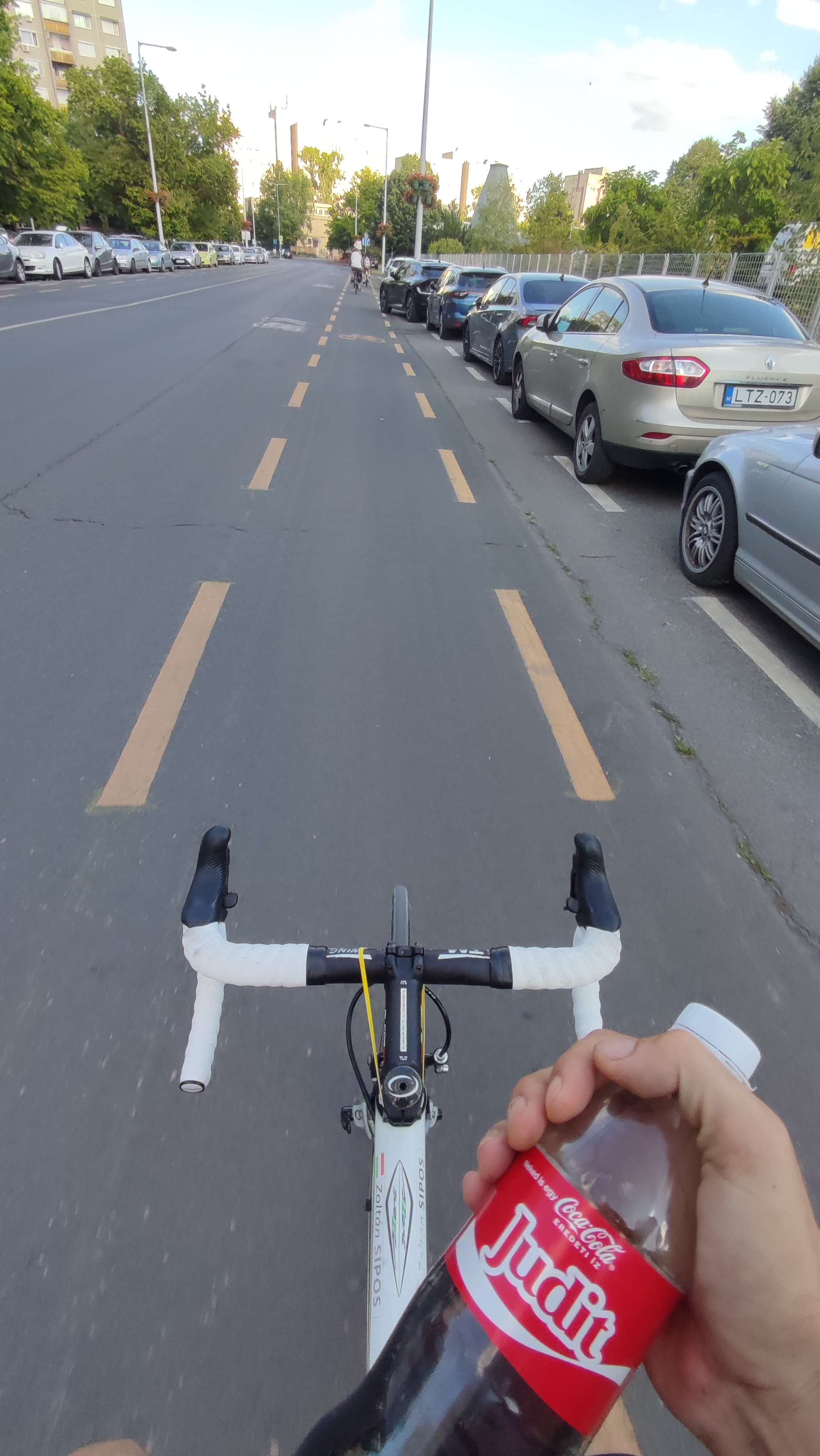
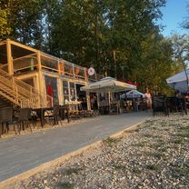
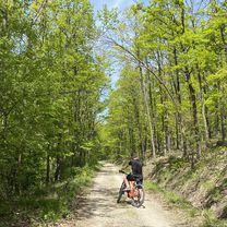
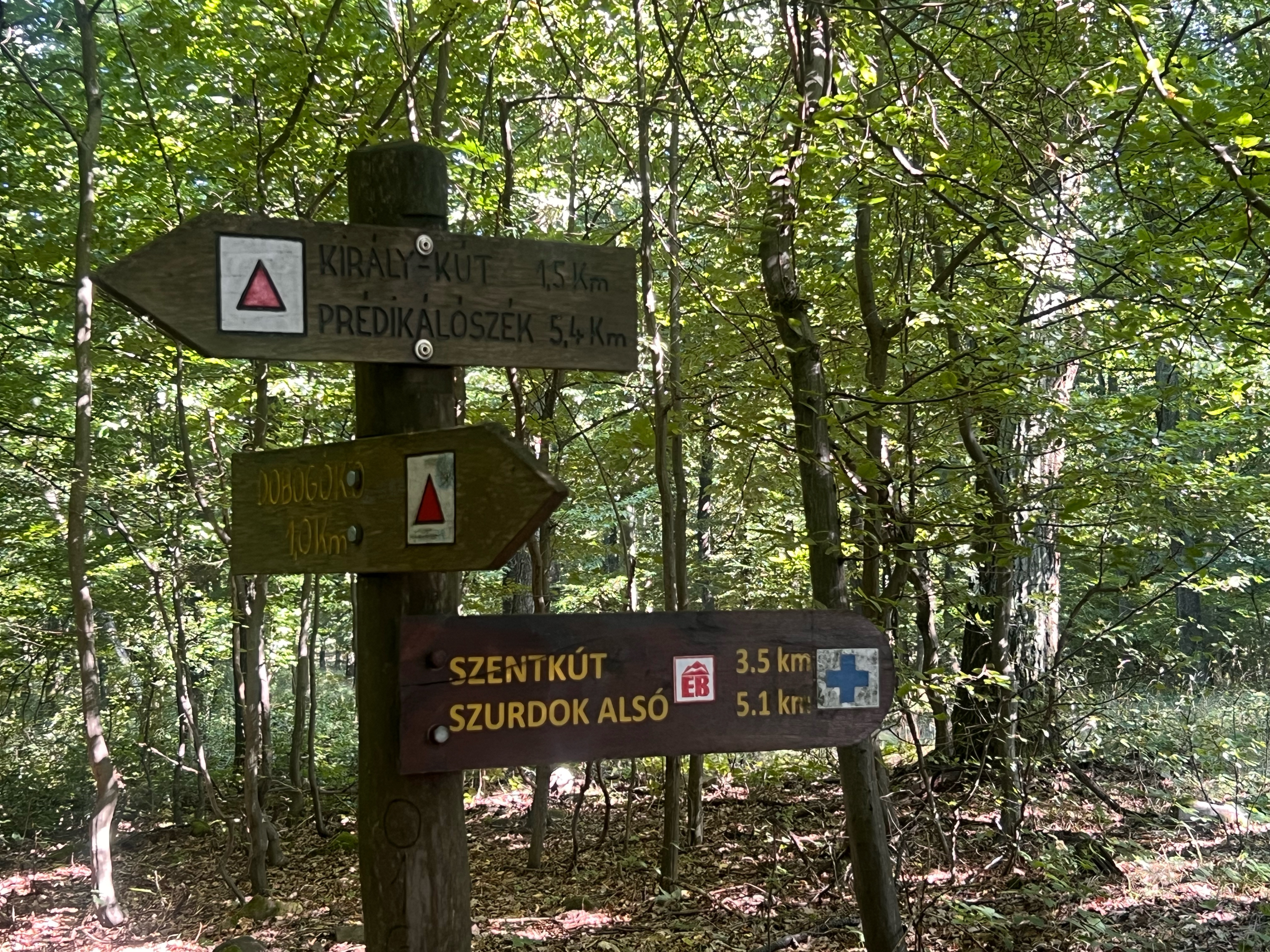
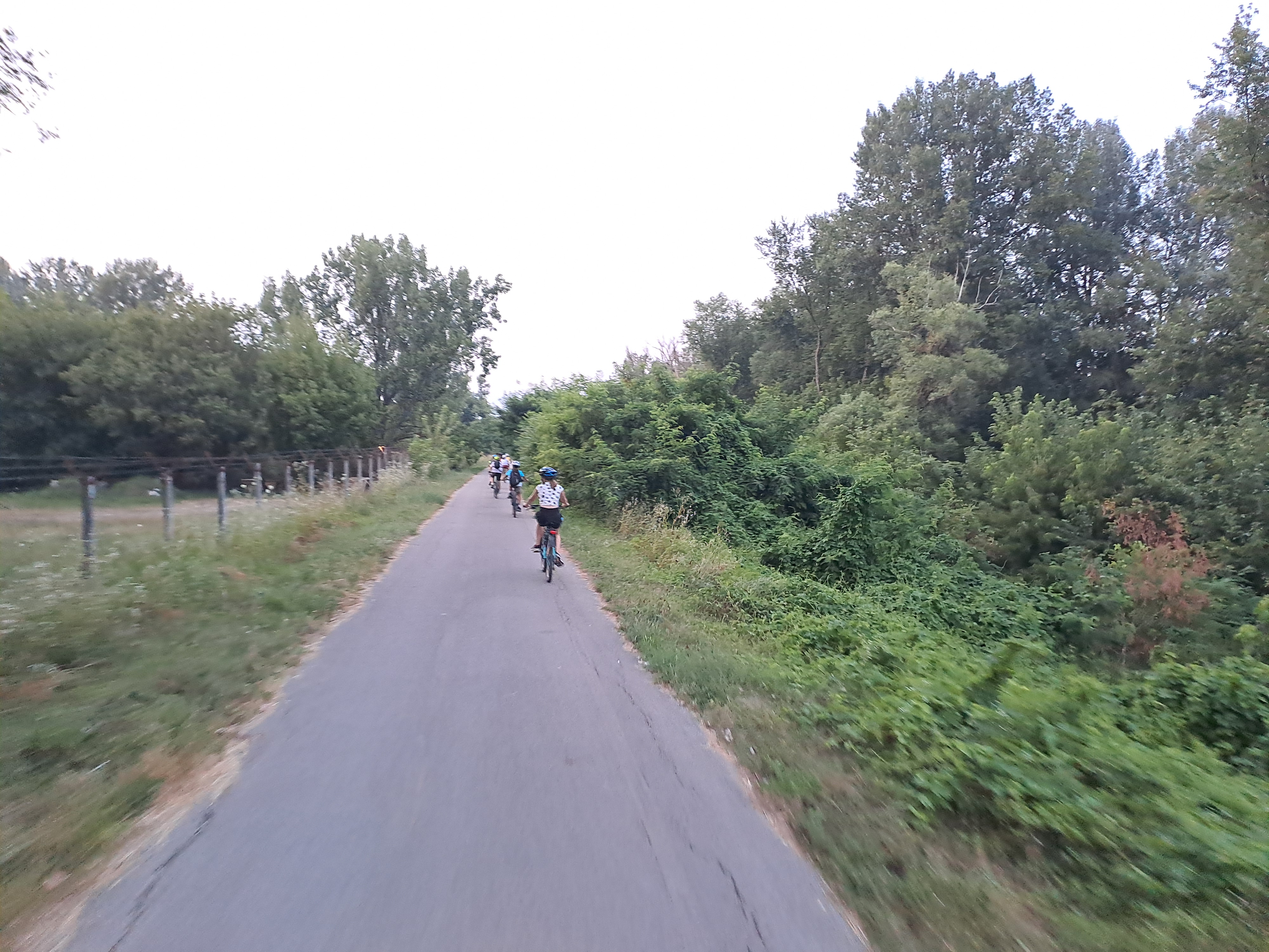
Route photos


Route quality
Waytypes & surfaces along the route
Waytypes
Cycleway
78.9 km
(62 %)
Quiet road
28 km
(22 %)
Surfaces
Paved
119.6 km
(94 %)
Unpaved
1.3 km
(1 %)
Asphalt
106.8 km
(84 %)
Concrete
12.7 km
(10 %)
Continue with Bikemap
Use, edit, or download this cycling route
You would like to ride Zebegényi rétes nóta or customize it for your own trip? Here is what you can do with this Bikemap route:
Free features
- Save this route as favorite or in collections
- Copy & plan your own version of this route
- Split it into stages to create a multi-day tour
- Sync your route with Garmin or Wahoo
Premium features
Free trial for 3 days, or one-time payment. More about Bikemap Premium.
- Navigate this route on iOS & Android
- Export a GPX / KML file of this route
- Create your custom printout (try it for free)
- Download this route for offline navigation
Discover more Premium features.
Get Bikemap PremiumFrom our community
Other popular routes starting in Szentendre
 Strand utca to Arany János utca
- Distance
- 23.6 km
- Ascent
- 60 m
- Descent
- 99 m
- Location
- Szentendre, Pest County, Hungary
 Ady Endre utca, Szentendre - Váci Mihály utca, Sződ
- Distance
- 35 km
- Ascent
- 118 m
- Descent
- 107 m
- Location
- Szentendre, Pest County, Hungary
 szentendre-prédikálószék-pilisszentlászló-szentendre
- Distance
- 43.6 km
- Ascent
- 1,371 m
- Descent
- 1,482 m
- Location
- Szentendre, Pest County, Hungary
 Szentendre - Pilisszentlászló
- Distance
- 14.9 km
- Ascent
- 259 m
- Descent
- 259 m
- Location
- Szentendre, Pest County, Hungary
 Dobogókő !
- Distance
- 45 km
- Ascent
- 802 m
- Descent
- 802 m
- Location
- Szentendre, Pest County, Hungary
 Vörös-kő kör
- Distance
- 17.4 km
- Ascent
- 595 m
- Descent
- 595 m
- Location
- Szentendre, Pest County, Hungary
 Kedvenc köröm, 123 km
- Distance
- 119.1 km
- Ascent
- 678 m
- Descent
- 678 m
- Location
- Szentendre, Pest County, Hungary
 Postás strand- Omszki tó
- Distance
- 15 km
- Ascent
- 17 m
- Descent
- 16 m
- Location
- Szentendre, Pest County, Hungary
Open it in the app