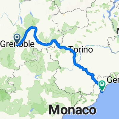
Von Grenoble bis Finale Ligure
- 461.2 km
- 8,795 m
- 9,002 m
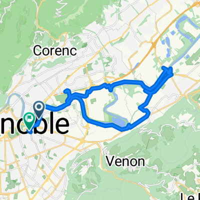
- La Tronche, Auvergne-Rhône-Alpes, France


Road
20 km24 %Quiet road
6.7 km8 %Paved
26.7 km(32 %)Unpaved
4.2 km(5 %)Asphalt
26.7 km32 %Ground
3.3 km4 %Free trial for 3 days, or one-time payment. More about Bikemap Premium.
Discover more Premium features.
Get Bikemap PremiumOpen it in the app