

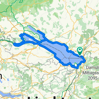
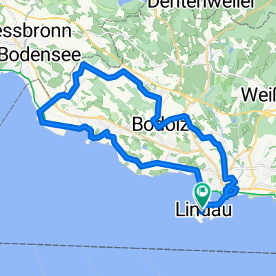
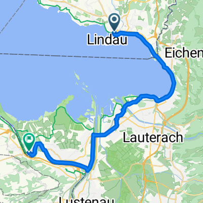
Overview
About this route
- -:--
- Duration
- 119 km
- Distance
- 1,873 m
- Ascent
- 1,575 m
- Descent
- ---
- Avg. speed
- ---
- Max. altitude

Part of
2014 Silvretta
3 stages
Route quality
Waytypes & surfaces along the route
Waytypes
Track
22.6 km
(19 %)
Quiet road
11.9 km
(10 %)
Surfaces
Paved
105.9 km
(89 %)
Unpaved
4.8 km
(4 %)
Asphalt
105.9 km
(89 %)
Gravel
3.6 km
(3 %)
Continue with Bikemap
Use, edit, or download this cycling route
You would like to ride Lindau - Bregenz or customize it for your own trip? Here is what you can do with this Bikemap route:
Free features
- Save this route as favorite or in collections
- Copy & plan your own version of this route
- Split it into stages to create a multi-day tour
- Sync your route with Garmin or Wahoo
Premium features
Free trial for 3 days, or one-time payment. More about Bikemap Premium.
- Navigate this route on iOS & Android
- Export a GPX / KML file of this route
- Create your custom printout (try it for free)
- Download this route for offline navigation
Discover more Premium features.
Get Bikemap PremiumFrom our community
Other popular routes starting in Lindau
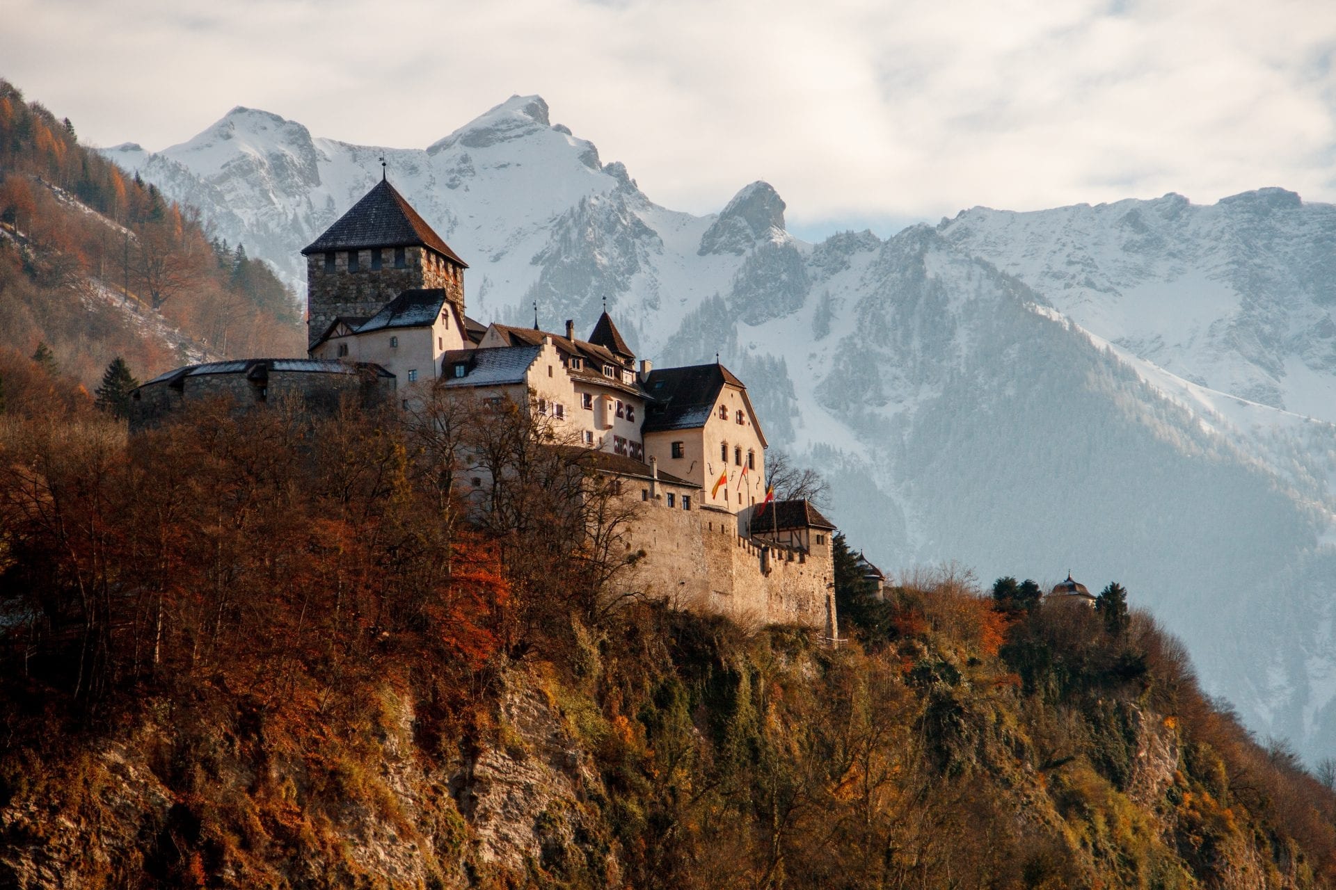 Lindau to Vaduz
- Distance
- 72.7 km
- Ascent
- 939 m
- Descent
- 453 m
- Location
- Lindau, Bavaria, Germany
 Von Lindau (Bodensee) bis Oy-Mittelberg
- Distance
- 95.6 km
- Ascent
- 1,464 m
- Descent
- 916 m
- Location
- Lindau, Bavaria, Germany
 Langenweg nach Langenweg
- Distance
- 228.7 km
- Ascent
- 1,216 m
- Descent
- 1,216 m
- Location
- Lindau, Bavaria, Germany
 Bodensee - Königsee via Rennrad
- Distance
- 391.2 km
- Ascent
- 1,772 m
- Descent
- 1,564 m
- Location
- Lindau, Bavaria, Germany
 47.545, 9.688 to 47.658, 9.175
- Distance
- 56.8 km
- Ascent
- 174 m
- Descent
- 180 m
- Location
- Lindau, Bavaria, Germany
 Auf dem Wall, Lindau to Landstraße, Höchst
- Distance
- 32.8 km
- Ascent
- 110 m
- Descent
- 110 m
- Location
- Lindau, Bavaria, Germany
 Maximilianstraße naar Zeppelinstraße
- Distance
- 23.8 km
- Ascent
- 197 m
- Descent
- 196 m
- Location
- Lindau, Bavaria, Germany
 Von Romanshorn bis Öhningen
- Distance
- 27.2 km
- Ascent
- 91 m
- Descent
- 99 m
- Location
- Lindau, Bavaria, Germany
Open it in the app