Etapa 14 Tour
A cycling route starting in Ibos, Occitanie, France.
Overview
About this route
- -:--
- Duration
- 116 km
- Distance
- 3,096 m
- Ascent
- 1,314 m
- Descent
- ---
- Avg. speed
- ---
- Max. altitude
Route quality
Waytypes & surfaces along the route
Waytypes
Quiet road
9.3 km
(8 %)
Road
4.6 km
(4 %)
Surfaces
Paved
88.1 km
(76 %)
Unpaved
1.2 km
(1 %)
Asphalt
87 km
(75 %)
Paved (undefined)
1.2 km
(1 %)
Continue with Bikemap
Use, edit, or download this cycling route
You would like to ride Etapa 14 Tour or customize it for your own trip? Here is what you can do with this Bikemap route:
Free features
- Save this route as favorite or in collections
- Copy & plan your own version of this route
- Split it into stages to create a multi-day tour
- Sync your route with Garmin or Wahoo
Premium features
Free trial for 3 days, or one-time payment. More about Bikemap Premium.
- Navigate this route on iOS & Android
- Export a GPX / KML file of this route
- Create your custom printout (try it for free)
- Download this route for offline navigation
Discover more Premium features.
Get Bikemap PremiumFrom our community
Other popular routes starting in Ibos
- Etapa Tour 14 Tourmalet
- Distance
- 116.5 km
- Ascent
- 3,014 m
- Descent
- 1,334 m
- Location
- Ibos, Occitanie, France
- Chemin de la Passade, Ibos à 9 Avenue Jean Jaurès, Oursbelille
- Distance
- 10.4 km
- Ascent
- 13 m
- Descent
- 105 m
- Location
- Ibos, Occitanie, France
- De Chemin d'Ours à Avenue Alsace-Lorraine Ter
- Distance
- 7.5 km
- Ascent
- 7 m
- Descent
- 24 m
- Location
- Ibos, Occitanie, France
- Commander
- Distance
- 4.7 km
- Ascent
- 98 m
- Descent
- 97 m
- Location
- Ibos, Occitanie, France
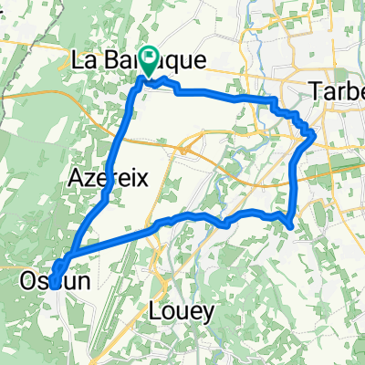
- Côte de Ger, Ibos to Cheminement Lescloupe, Aast
- Distance
- 10.6 km
- Ascent
- 116 m
- Descent
- 61 m
- Location
- Ibos, Occitanie, France
- Stage 14 - TDF 2019 - GTP
- Distance
- 116.3 km
- Ascent
- 3,111 m
- Descent
- 1,325 m
- Location
- Ibos, Occitanie, France
- bcommandeur
- Distance
- 11.4 km
- Ascent
- 1,738 m
- Descent
- 1,747 m
- Location
- Ibos, Occitanie, France
- sortie entrainement
- Distance
- 57.5 km
- Ascent
- 326 m
- Descent
- 327 m
- Location
- Ibos, Occitanie, France
Open it in the app