

P-BielerSee (78km)
A cycling route starting in Biel/Bienne, Canton of Bern, Switzerland.
Overview
About this route
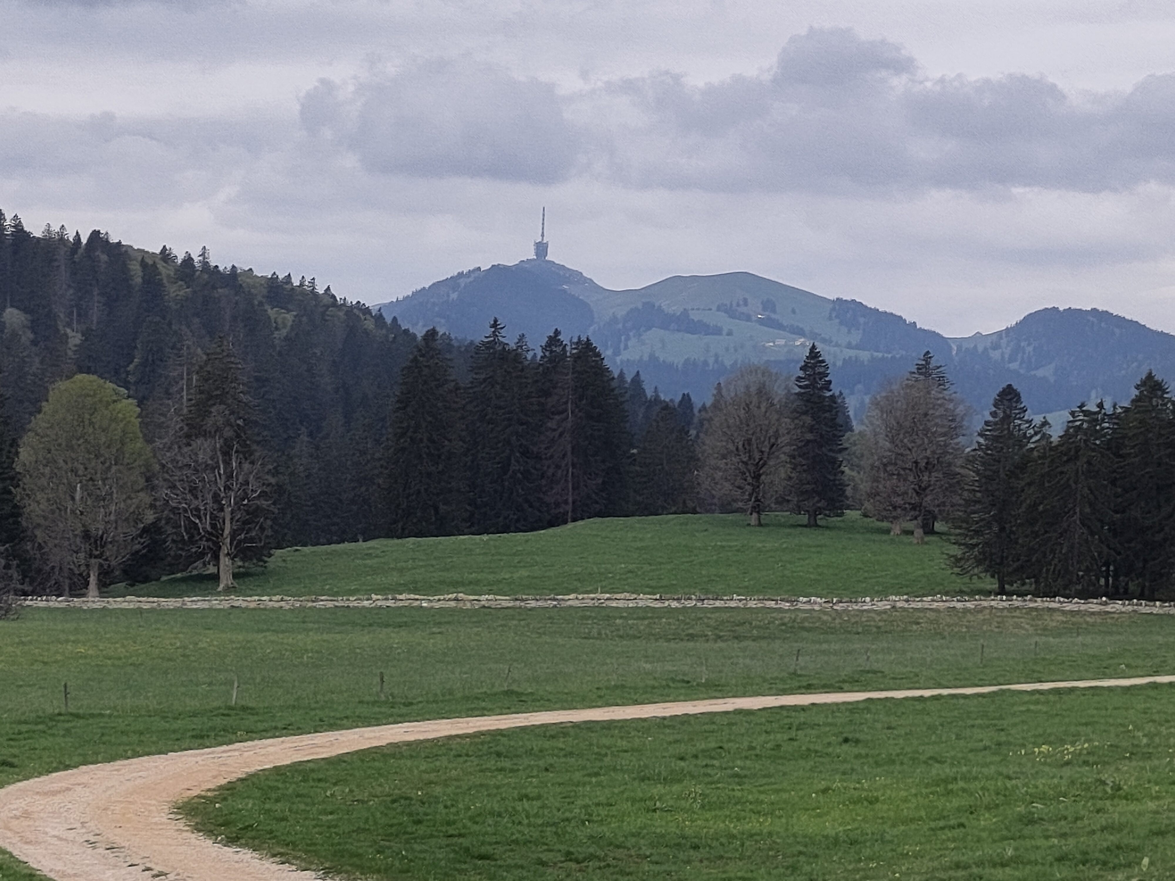
Wonderful route, mainly flat around Bielersee. Only real climb starts at km 37: Mont Vully, it's 2,5km climb quite steep 8-10% with also wonderful view of the lake. Then at km 64 few little climbs on the way back to Biel/Bienne.
- 5 h 4 min
- Duration
- 77.6 km
- Distance
- 890 m
- Ascent
- 888 m
- Descent
- 15.3 km/h
- Avg. speed
- 644 m
- Max. altitude

Route quality
Waytypes & surfaces along the route
Waytypes
Quiet road
26.4 km
(34 %)
Road
5.4 km
(7 %)
Surfaces
Paved
58.2 km
(75 %)
Unpaved
0.8 km
(1 %)
Asphalt
48.9 km
(63 %)
Paved (undefined)
9.3 km
(12 %)
Route highlights
Points of interest along the route
Drinking water after 57.6 km
Continue with Bikemap
Use, edit, or download this cycling route
You would like to ride P-BielerSee (78km) or customize it for your own trip? Here is what you can do with this Bikemap route:
Free features
- Save this route as favorite or in collections
- Copy & plan your own version of this route
- Sync your route with Garmin or Wahoo
Premium features
Free trial for 3 days, or one-time payment. More about Bikemap Premium.
- Navigate this route on iOS & Android
- Export a GPX / KML file of this route
- Create your custom printout (try it for free)
- Download this route for offline navigation
Discover more Premium features.
Get Bikemap PremiumFrom our community
Other popular routes starting in Biel/Bienne
 P-Biel/Grenchen/Plagne (32km)
- Distance
- 31.6 km
- Ascent
- 583 m
- Descent
- 581 m
- Location
- Biel/Bienne, Canton of Bern, Switzerland
 47°Nord Tour de Suisse Etappe 1
- Distance
- 91.5 km
- Ascent
- 225 m
- Descent
- 172 m
- Location
- Biel/Bienne, Canton of Bern, Switzerland
 P-Biel/Aarberg/Oltigen (72km)
- Distance
- 72.3 km
- Ascent
- 1,097 m
- Descent
- 1,096 m
- Location
- Biel/Bienne, Canton of Bern, Switzerland
 P-Biel/Aetigkofen (70km)
- Distance
- 70.4 km
- Ascent
- 753 m
- Descent
- 749 m
- Location
- Biel/Bienne, Canton of Bern, Switzerland
 P-Biel/Grenchen/Plagne (31km)
- Distance
- 30.9 km
- Ascent
- 538 m
- Descent
- 536 m
- Location
- Biel/Bienne, Canton of Bern, Switzerland
 P-Biel/Twann/Lignières/CHASSERAL/Nods/Orvin/Evilard (62 km)
- Distance
- 62.8 km
- Ascent
- 1,389 m
- Descent
- 1,386 m
- Location
- Biel/Bienne, Canton of Bern, Switzerland
 Biel - Saisselin - Jobert - Biel
- Distance
- 38.5 km
- Ascent
- 1,292 m
- Descent
- 1,293 m
- Location
- Biel/Bienne, Canton of Bern, Switzerland
 P-BielerSee (77km)
- Distance
- 76.7 km
- Ascent
- 394 m
- Descent
- 395 m
- Location
- Biel/Bienne, Canton of Bern, Switzerland
Open it in the app