

Missouri
A cycling route starting in St Louis, Missouri, United States.
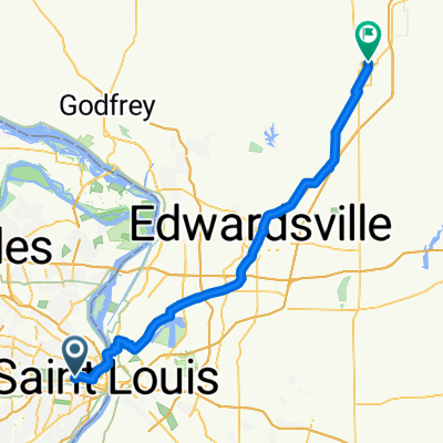
Overview
About this route
- -:--
- Duration
- 800 km
- Distance
- 759 m
- Ascent
- 616 m
- Descent
- ---
- Avg. speed
- ---
- Max. altitude

Route highlights
Points of interest along the route
Point of interest after 0.2 km
Anytime Fitness 759 Market Street Center Farmington, MO 63640
Point of interest after 66.4 km
Katy Trail State Park Trail End Points: St. Charles to Clinton Counties: Boone, Callaway, Cooper, Henry, Howard, Montgomery, Pettis, St. Charles, Warren Trail Length: 225 miles Trail Category: Rail-Trail Trail Surfaces: Crushed Stone
Accommodation after 131.8 km
Marthasville Community Club Park 601 One St
Accommodation after 198 km
Portland Rivers Edge RV Park & Campground 10512 Main Cross Street Portland, MO 65067 573-676-3540
Point of interest after 247.9 km
Anytime Fitness 3220 West Edgewood Drive Jefferson City, MO 65109
Accommodation after 306.3 km
Rocheport Davisdale Conservation Area
Accommodation after 412.1 km
Windsor Farrington Park
Point of interest after 438.4 km
Katy Trail State Park Trail End Points: St. Charles to Clinton Counties: Boone, Callaway, Cooper, Henry, Howard, Montgomery, Pettis, St. Charles, Warren Trail Length: 225 miles Trail Category: Rail-Trail Trail Surfaces: Crushed Stone
Continue with Bikemap
Use, edit, or download this cycling route
You would like to ride Missouri or customize it for your own trip? Here is what you can do with this Bikemap route:
Free features
- Save this route as favorite or in collections
- Copy & plan your own version of this route
- Split it into stages to create a multi-day tour
- Sync your route with Garmin or Wahoo
Premium features
Free trial for 3 days, or one-time payment. More about Bikemap Premium.
- Navigate this route on iOS & Android
- Export a GPX / KML file of this route
- Create your custom printout (try it for free)
- Download this route for offline navigation
Discover more Premium features.
Get Bikemap PremiumFrom our community
Other popular routes starting in St Louis
 From Saint Louis to Staunton
- Distance
- 70.2 km
- Ascent
- 223 m
- Descent
- 185 m
- Location
- St Louis, Missouri, United States
 2015 Cranksgiving (10 Miles)
- Distance
- 15 km
- Ascent
- 118 m
- Descent
- 119 m
- Location
- St Louis, Missouri, United States
 2015 Cranksgiving (5 Miles)
- Distance
- 7.8 km
- Ascent
- 135 m
- Descent
- 138 m
- Location
- St Louis, Missouri, United States
 Day 26
- Distance
- 87.2 km
- Ascent
- 156 m
- Descent
- 118 m
- Location
- St Louis, Missouri, United States
 2015 Cranksgiving (25 Miles)
- Distance
- 42 km
- Ascent
- 202 m
- Descent
- 202 m
- Location
- St Louis, Missouri, United States
 Missouri
- Distance
- 800 km
- Ascent
- 759 m
- Descent
- 616 m
- Location
- St Louis, Missouri, United States
 2015 Cranksgiving (10 Miles)
- Distance
- 14.5 km
- Ascent
- 129 m
- Descent
- 134 m
- Location
- St Louis, Missouri, United States
 Cranksgiving 2017
- Distance
- 20.5 km
- Ascent
- 155 m
- Descent
- 146 m
- Location
- St Louis, Missouri, United States
Open it in the app