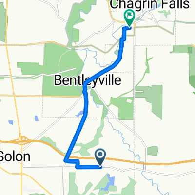
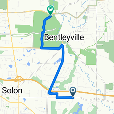
Solon - 35 Miles
A cycling route starting in Solon, Ohio, United States of America.
Overview
About this route
- -:--
- Duration
- 56.6 km
- Distance
- 337 m
- Ascent
- 337 m
- Descent
- ---
- Avg. speed
- ---
- Avg. speed
Route quality
Waytypes & surfaces along the route
Waytypes
Road
27.3 km
(48 %)
Quiet road
25.3 km
(45 %)
Surfaces
Paved
18.9 km
(33 %)
Asphalt
18.8 km
(33 %)
Paving stones
0.1 km
(<1 %)
Undefined
37.7 km
(67 %)
Continue with Bikemap
Use, edit, or download this cycling route
You would like to ride Solon - 35 Miles or customize it for your own trip? Here is what you can do with this Bikemap route:
Free features
- Save this route as favorite or in collections
- Copy & plan your own version of this route
- Sync your route with Garmin or Wahoo
Premium features
Free trial for 3 days, or one-time payment. More about Bikemap Premium.
- Navigate this route on iOS & Android
- Export a GPX / KML file of this route
- Create your custom printout (try it for free)
- Download this route for offline navigation
Discover more Premium features.
Get Bikemap PremiumFrom our community
Other popular routes starting in Solon
- 5256 Som Center Rd, Solon to 29009 Anderson Rd, Wickliffe
- Distance
- 25.4 km
- Ascent
- 93 m
- Descent
- 250 m
- Location
- Solon, Ohio, United States of America
- Gates Mills
- Distance
- 37.8 km
- Ascent
- 279 m
- Descent
- 280 m
- Location
- Solon, Ohio, United States of America
- Shaker Nature Center Out & Back
- Distance
- 44.7 km
- Ascent
- 174 m
- Descent
- 173 m
- Location
- Solon, Ohio, United States of America
- 5885 Elm Hill Dr, Solon to 226–242 Canal Rd, Cleveland
- Distance
- 43 km
- Ascent
- 314 m
- Descent
- 458 m
- Location
- Solon, Ohio, United States of America
- 7045 Liberty Rd, Solon to 7045 Liberty Rd, Solon
- Distance
- 10.3 km
- Ascent
- 74 m
- Descent
- 75 m
- Location
- Solon, Ohio, United States of America
- Solon - 35 Miles
- Distance
- 56.6 km
- Ascent
- 337 m
- Descent
- 337 m
- Location
- Solon, Ohio, United States of America
- Solon LaDue Tour
- Distance
- 59.6 km
- Ascent
- 290 m
- Descent
- 290 m
- Location
- Solon, Ohio, United States of America
- Hawthorn Pkwy, Solon to Metro Parks Bike And Hike Trail, Northfield
- Distance
- 29.3 km
- Ascent
- 224 m
- Descent
- 335 m
- Location
- Solon, Ohio, United States of America
Open it in the app