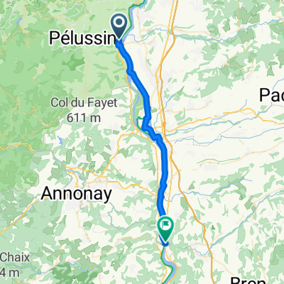
Oeillon/Republique/Charousse
- 167.3 km
- 2,861 m
- 2,864 m
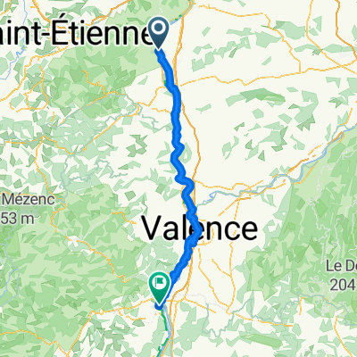
- Chavanay, Auvergne-Rhône-Alpes, France
A cycling route starting in Chavanay, Auvergne-Rhône-Alpes, France.
Overview
Beautiful stage and no traffic on bike paths
created this 6 years ago
Route quality
Cycleway
27.1 km
(53 %)
Quiet road
11.8 km
(23 %)
Paved
36.3 km
(71 %)
Unpaved
2 km
(4 %)
Asphalt
35.3 km
(69 %)
Unpaved (undefined)
2 km
(4 %)
Continue with Bikemap
You would like to ride Via Rhona: 2ème Etappe Chavanay à Tournon or customize it for your own trip? Here is what you can do with this Bikemap route:
Free trial for 3 days, or one-time payment. More about Bikemap Premium.
Discover more Premium features.
Get Bikemap PremiumFrom our community
Open it in the app