

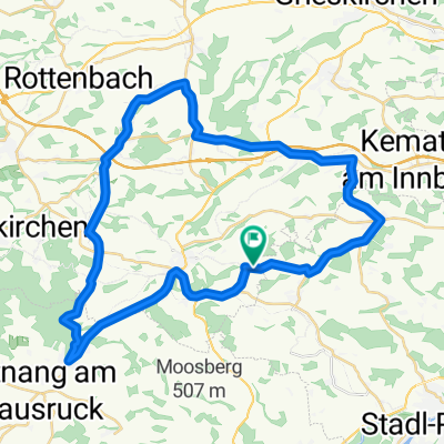
OBK Pichl/Krailberg MBike
A cycling route starting in Bachmanning, Upper Austria, Austria.
Overview
About this route
Highest point in the district of Wels/Land
- -:--
- Duration
- 17.3 km
- Distance
- 215 m
- Ascent
- 393 m
- Descent
- ---
- Avg. speed
- ---
- Max. altitude

Route quality
Waytypes & surfaces along the route
Waytypes
Quiet road
13.7 km
(79 %)
Track
1.9 km
(11 %)
Surfaces
Paved
0.9 km
(5 %)
Unpaved
1.9 km
(11 %)
Asphalt
0.9 km
(5 %)
Unpaved (undefined)
0.9 km
(5 %)
Continue with Bikemap
Use, edit, or download this cycling route
You would like to ride OBK Pichl/Krailberg MBike or customize it for your own trip? Here is what you can do with this Bikemap route:
Free features
- Save this route as favorite or in collections
- Copy & plan your own version of this route
- Sync your route with Garmin or Wahoo
Premium features
Free trial for 3 days, or one-time payment. More about Bikemap Premium.
- Navigate this route on iOS & Android
- Export a GPX / KML file of this route
- Create your custom printout (try it for free)
- Download this route for offline navigation
Discover more Premium features.
Get Bikemap PremiumFrom our community
Other popular routes starting in Bachmanning
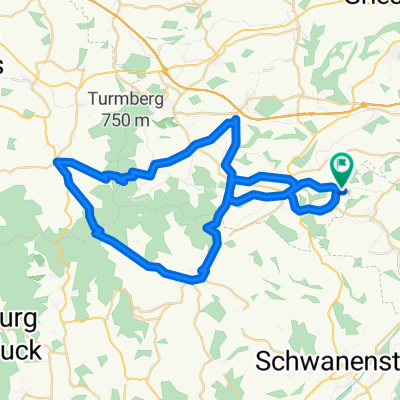
 Hausruckrunde
- Distance
- 58.2 km
- Ascent
- 679 m
- Descent
- 714 m
- Location
- Bachmanning, Upper Austria, Austria
 Traun-Alm Runde
- Distance
- 120.4 km
- Ascent
- 1,146 m
- Descent
- 1,146 m
- Location
- Bachmanning, Upper Austria, Austria
 Hausruckrunde über Pich/Wels
- Distance
- 82.8 km
- Ascent
- 885 m
- Descent
- 885 m
- Location
- Bachmanning, Upper Austria, Austria
 Route 2 Kraftausdauer
- Distance
- 52.6 km
- Ascent
- 1,035 m
- Descent
- 1,017 m
- Location
- Bachmanning, Upper Austria, Austria
 Königmairgut
- Distance
- 11.5 km
- Ascent
- 164 m
- Descent
- 139 m
- Location
- Bachmanning, Upper Austria, Austria
 Route 4 Schnellkraft
- Distance
- 42.3 km
- Ascent
- 542 m
- Descent
- 533 m
- Location
- Bachmanning, Upper Austria, Austria
 Hausruckrunde CLONED FROM ROUTE 433084
- Distance
- 58.2 km
- Ascent
- 679 m
- Descent
- 714 m
- Location
- Bachmanning, Upper Austria, Austria
 Ab ins Innviertel
- Distance
- 83.7 km
- Ascent
- 1,094 m
- Descent
- 1,086 m
- Location
- Bachmanning, Upper Austria, Austria
Open it in the app