

55 km radkersburg-verzej-radkersburg
A cycling route starting in Gornja Radgona, Gornja Radgona, Slovenia.
Overview
About this route
- -:--
- Duration
- 54.8 km
- Distance
- 168 m
- Ascent
- 168 m
- Descent
- ---
- Avg. speed
- ---
- Max. altitude

Route quality
Waytypes & surfaces along the route
Waytypes
Quiet road
21.3 km
(39 %)
Road
16.7 km
(31 %)
Surfaces
Paved
32.2 km
(59 %)
Unpaved
0.9 km
(2 %)
Asphalt
32.2 km
(59 %)
Ground
0.6 km
(1 %)
Route highlights
Points of interest along the route
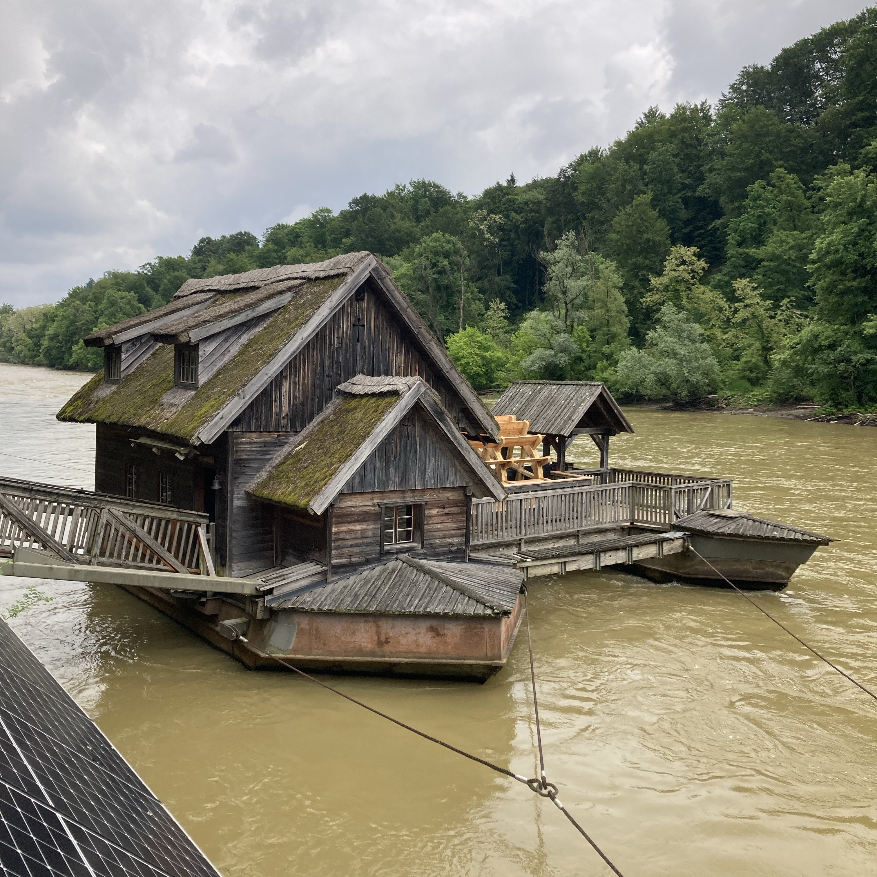
Point of interest after 27.3 km
einfahrt see
Continue with Bikemap
Use, edit, or download this cycling route
You would like to ride 55 km radkersburg-verzej-radkersburg or customize it for your own trip? Here is what you can do with this Bikemap route:
Free features
- Save this route as favorite or in collections
- Copy & plan your own version of this route
- Sync your route with Garmin or Wahoo
Premium features
Free trial for 3 days, or one-time payment. More about Bikemap Premium.
- Navigate this route on iOS & Android
- Export a GPX / KML file of this route
- Create your custom printout (try it for free)
- Download this route for offline navigation
Discover more Premium features.
Get Bikemap PremiumFrom our community
Other popular routes starting in Gornja Radgona
 Bad Radkersburg nach Leibnitz
- Distance
- 62 km
- Ascent
- 605 m
- Descent
- 551 m
- Location
- Gornja Radgona, Gornja Radgona, Slovenia
 Bad Radkersburg ANRADELN MTB
- Distance
- 41 km
- Ascent
- 454 m
- Descent
- 456 m
- Location
- Gornja Radgona, Gornja Radgona, Slovenia
 4. Bad Radkersburg - Škofja Vas, Celje - 98km
- Distance
- 97.9 km
- Ascent
- 726 m
- Descent
- 679 m
- Location
- Gornja Radgona, Gornja Radgona, Slovenia
 5. Tag, 21.05.25: Bad Radkersburg nach Leopold-Figl-Straße, Leibnitz
- Distance
- 53.3 km
- Ascent
- 209 m
- Descent
- 150 m
- Location
- Gornja Radgona, Gornja Radgona, Slovenia
 schloss-tour_-_grad_148948882
- Distance
- 44.6 km
- Ascent
- 373 m
- Descent
- 374 m
- Location
- Gornja Radgona, Gornja Radgona, Slovenia
 Mur6: Bad Radkersburg - Egyeduta, 86,4km, 46hm
- Distance
- 86.4 km
- Ascent
- 46 m
- Descent
- 110 m
- Location
- Gornja Radgona, Gornja Radgona, Slovenia
 BadRadkersburg BdGleichenbg
- Distance
- 63.5 km
- Ascent
- 306 m
- Descent
- 308 m
- Location
- Gornja Radgona, Gornja Radgona, Slovenia
 55 km radkersburg-verzej-radkersburg
- Distance
- 54.8 km
- Ascent
- 168 m
- Descent
- 168 m
- Location
- Gornja Radgona, Gornja Radgona, Slovenia
Open it in the app