

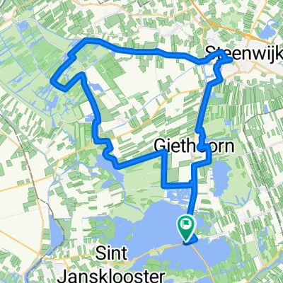
Giethorn, 1+2
A cycling route starting in Wanneperveen, Overijssel, The Netherlands.
Overview
About this route
- -:--
- Duration
- 54.5 km
- Distance
- 5 m
- Ascent
- 4 m
- Descent
- ---
- Avg. speed
- ---
- Max. altitude
Route quality
Waytypes & surfaces along the route
Waytypes
Cycleway
23.4 km
(43 %)
Road
21.8 km
(40 %)
Surfaces
Paved
37.6 km
(69 %)
Asphalt
28.4 km
(52 %)
Concrete
9.3 km
(17 %)
Undefined
16.9 km
(31 %)
Continue with Bikemap
Use, edit, or download this cycling route
You would like to ride Giethorn, 1+2 or customize it for your own trip? Here is what you can do with this Bikemap route:
Free features
- Save this route as favorite or in collections
- Copy & plan your own version of this route
- Sync your route with Garmin or Wahoo
Premium features
Free trial for 3 days, or one-time payment. More about Bikemap Premium.
- Navigate this route on iOS & Android
- Export a GPX / KML file of this route
- Create your custom printout (try it for free)
- Download this route for offline navigation
Discover more Premium features.
Get Bikemap PremiumFrom our community
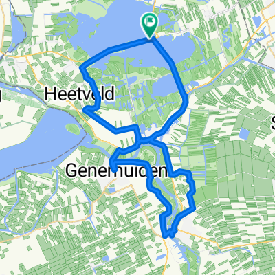
Other popular routes starting in Wanneperveen
 awv70-NL Wiedenroute ab/bis Blauwe Hand
- Distance
- 56.5 km
- Ascent
- 6 m
- Descent
- 5 m
- Location
- Wanneperveen, Overijssel, The Netherlands
 TT Nijeveen (2,5 uur)
- Distance
- 97.7 km
- Ascent
- 0 m
- Descent
- 0 m
- Location
- Wanneperveen, Overijssel, The Netherlands
 Route nach Wanneperveen
- Distance
- 47.6 km
- Ascent
- 14 m
- Descent
- 16 m
- Location
- Wanneperveen, Overijssel, The Netherlands
 Route nach Wanneperveen
- Distance
- 39.9 km
- Ascent
- 19 m
- Descent
- 20 m
- Location
- Wanneperveen, Overijssel, The Netherlands
 Giethorn, 1+2
- Distance
- 54.5 km
- Ascent
- 5 m
- Descent
- 4 m
- Location
- Wanneperveen, Overijssel, The Netherlands
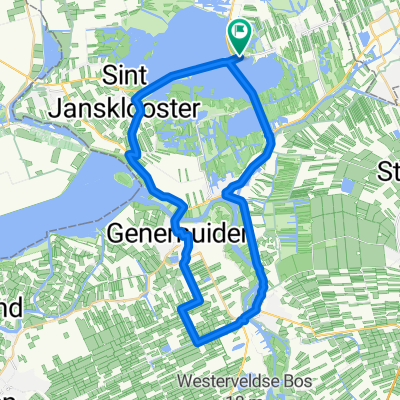
 Veneweg 193, Wanneperveen to Veneweg 193, Wanneperveen
- Distance
- 35.9 km
- Ascent
- 23 m
- Descent
- 20 m
- Location
- Wanneperveen, Overijssel, The Netherlands
 Steiger Zeilkamp naar Steiger Zeilkamp
- Distance
- 36.3 km
- Ascent
- 10 m
- Descent
- 11 m
- Location
- Wanneperveen, Overijssel, The Netherlands
 Route in Wanneperveen
- Distance
- 33.9 km
- Ascent
- 3 m
- Descent
- 3 m
- Location
- Wanneperveen, Overijssel, The Netherlands
Open it in the app