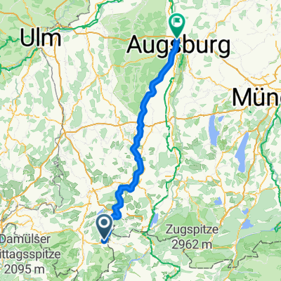
1997 Allgäutour

A cycling route starting in Burgberg, Bavaria, Germany.
OverviewAbout this route

Oberjoch - GrĂźntensee - Pfronten Tannheimer Valley - Vilsalpsee - Oberjoch

Translated, show original (German)
-:--
Duration
61.9 km
Distance
523 m
Ascent
523 m
Descent
---
Avg. speed
---
Max. altitude
apiculteurcreated this 15 years ago
Route qualityWaytypes & surfaces along the route
Waytypes
  • Road

    13.6 km22 %
  • Quiet road

    11.1 km18 %
  • Path

    6.8 km11 %
Surfaces

Paved

53.2 km(86 %)
  • Asphalt

    50.8 km82 %
  • Paved (undefined)

    2.5 km4 %
  • Undefined

    8.7 km14 %
Route highlightsPoints of interest along the route
  1. Point of interest after 0 km

    alternativ: steiler, asphaltierter Fußweg

Continue with BikemapUse, edit, or download this cycling route
You would like to ride 1997 Allgäutour or customize it for your own trip? Here is what you can do with this Bikemap route:
Free features
Premium features

Free trial for 3 days, or one-time payment. More about Bikemap Premium.

  • Navigate this route on iOS & Android
  • Export a GPX / KML file of this route
  • Create your custom printout (try it for free)
  • Download this route for offline navigation

Discover more Premium features.

Get Bikemap Premium
From our communityOther popular routes starting in Burgberg

Open it in the app