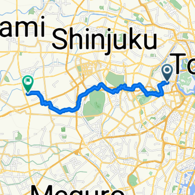
🎾 Tennis : Nogawa Park
- 14.2 km
- 97 m
- 91 m
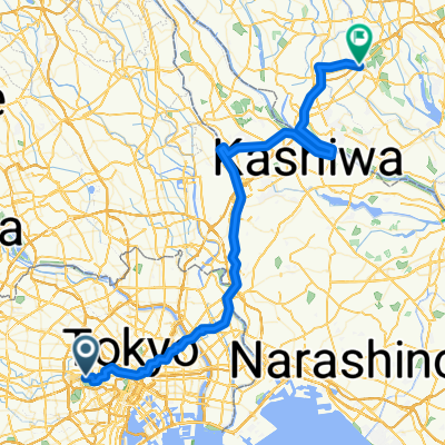
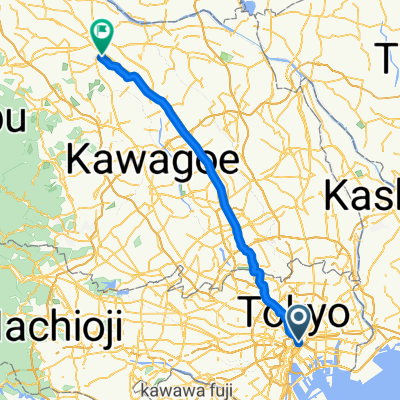
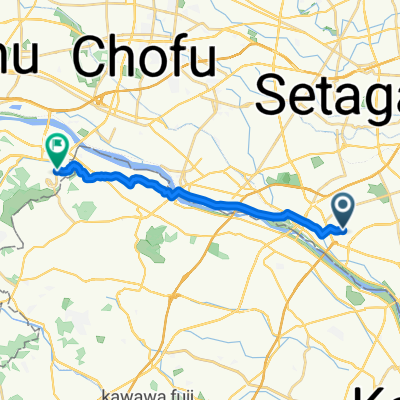
- Tokyo, Tokyo, Japan
A cycling route starting in Tokyo, Tokyo, Japan.
Overview
created this 6 years ago


Continue with Bikemap
You would like to ride Taito-Odaiba-Kiba Park-Taito or customize it for your own trip? Here is what you can do with this Bikemap route:
Free trial for 3 days, or one-time payment. More about Bikemap Premium.
Discover more Premium features.
Get Bikemap PremiumFrom our community
Open it in the app