Limesweg erweitert RLK
- 33.5 km
- 502 m
- 502 m
- Oberbachheim, Rhineland-Palatinate, Germany
A cycling route starting in Oberbachheim, Rhineland-Palatinate, Germany.
Overview
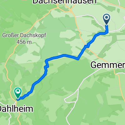
From the Oberbachheim community center via Dachsenhausen on the old narrow-gauge railway line up to just before Becheln. At the cemetery, turn right towards Sulzbach, up to the Limesweg. Here again turn right towards Schweighausen, then via Dörstheck, Dornholzhausen, to Geisig. From here up to just before Marienfels, then to Ehr and via Niederbachheim back to Oberbachheim at the community center.
created this 6 years ago
Route quality
Road
9.2 km
(40 %)
Track
5.5 km
(24 %)
Paved
4.6 km
(20 %)
Unpaved
5.9 km
(26 %)
Asphalt
3.7 km
(16 %)
Gravel
1.6 km
(7 %)
Continue with Bikemap
You would like to ride Limesweg RLK or customize it for your own trip? Here is what you can do with this Bikemap route:
Free trial for 3 days, or one-time payment. More about Bikemap Premium.
Discover more Premium features.
Get Bikemap PremiumFrom our community
Open it in the app