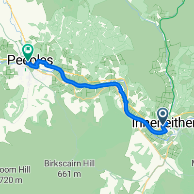
Peebles Road, Innerleithen to High Street, Peebles
- 12.1 km
- 69 m
- 50 m
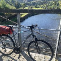
- Innerleithen, Scotland, United Kingdom
A cycling route starting in Innerleithen, Scotland, United Kingdom.
Overview
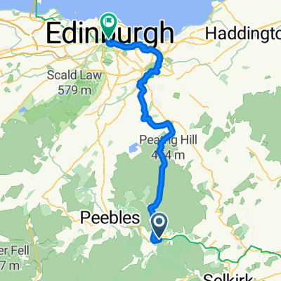
JOGLE Day 9
From Innerleithen to Blackford
Start: 5/7/10
created this 15 years ago
Route quality
Cycleway
22.1 km
(23 %)
Quiet road
8.6 km
(9 %)
Paved
30.7 km
(32 %)
Unpaved
1 km
(1 %)
Asphalt
30.7 km
(32 %)
Ground
1 km
(1 %)
Undefined
64.3 km
(67 %)
Continue with Bikemap
You would like to ride JOGLE Day 9 or customize it for your own trip? Here is what you can do with this Bikemap route:
Free trial for 3 days, or one-time payment. More about Bikemap Premium.
Discover more Premium features.
Get Bikemap PremiumFrom our community
Open it in the app