
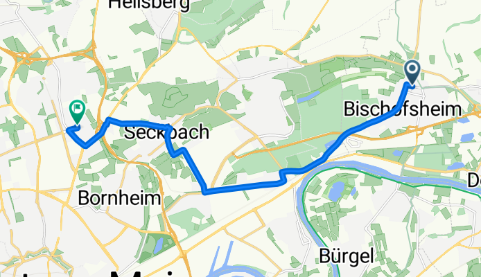
Mtl.Bischofsheim-Preungesheim
A cycling route starting in Maintal, Hesse, Germany.
Overview
About this route
- -:--
- Duration
- 11.1 km
- Distance
- 73 m
- Ascent
- 15 m
- Descent
- ---
- Avg. speed
- 169 m
- Max. altitude
Route quality
Waytypes & surfaces along the route
Waytypes
Road
3.8 km
(34 %)
Quiet road
3.4 km
(31 %)
Surfaces
Paved
10.2 km
(92 %)
Asphalt
9.6 km
(87 %)
Paved (undefined)
0.4 km
(4 %)
Continue with Bikemap
Use, edit, or download this cycling route
You would like to ride Mtl.Bischofsheim-Preungesheim or customize it for your own trip? Here is what you can do with this Bikemap route:
Free features
- Save this route as favorite or in collections
- Copy & plan your own version of this route
- Sync your route with Garmin or Wahoo
Premium features
Free trial for 3 days, or one-time payment. More about Bikemap Premium.
- Navigate this route on iOS & Android
- Export a GPX / KML file of this route
- Create your custom printout (try it for free)
- Download this route for offline navigation
Discover more Premium features.
Get Bikemap PremiumFrom our community
Other popular routes starting in Maintal
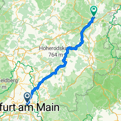 Friedlos-Maintal
- Distance
- 142.1 km
- Ascent
- 1,232 m
- Descent
- 1,122 m
- Location
- Maintal, Hesse, Germany
 Frankfurter Landstraße nach Am Hauptbahnhof
- Distance
- 85.3 km
- Ascent
- 285 m
- Descent
- 275 m
- Location
- Maintal, Hesse, Germany
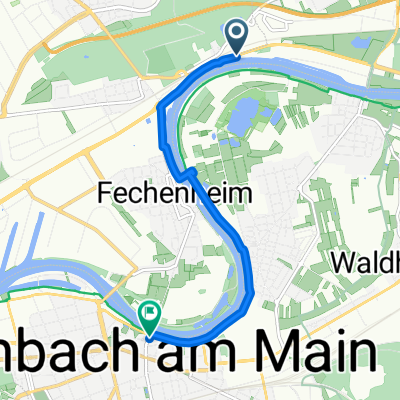
 Radtour-MaintalAktiv
- Distance
- 11.9 km
- Ascent
- 15 m
- Descent
- 12 m
- Location
- Maintal, Hesse, Germany
 Mtl.Bischofsheim-Preungesheim
- Distance
- 11.1 km
- Ascent
- 73 m
- Descent
- 15 m
- Location
- Maintal, Hesse, Germany
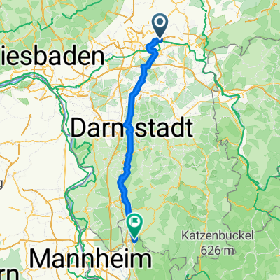
 Tour nach Mainz
- Distance
- 111.2 km
- Ascent
- 55 m
- Descent
- 58 m
- Location
- Maintal, Hesse, Germany
 Hanauer Landstraße 1000C nach Ziegelstraße
- Distance
- 5.9 km
- Ascent
- 22 m
- Descent
- 11 m
- Location
- Maintal, Hesse, Germany
 Maintal-Teufelsmühle-Alzenau
- Distance
- 45.7 km
- Ascent
- 385 m
- Descent
- 355 m
- Location
- Maintal, Hesse, Germany
 PW Maintal Goetheturm Maintal
- Distance
- 34.1 km
- Ascent
- 84 m
- Descent
- 87 m
- Location
- Maintal, Hesse, Germany
Open it in the app