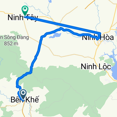
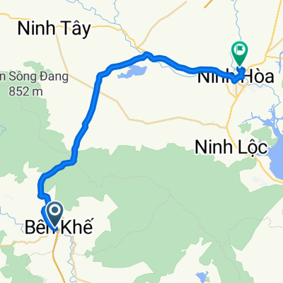
Đèo Hòn Giao
- 31.7 km
- 1,861 m
- 239 m
- Khánh Vĩnh, Khánh Hòa Province, Vietnam
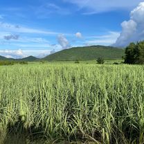
Quiet road
5.3 km8 %Track
1.3 km2 %Paved
19.3 km(29 %)Unpaved
1.3 km(2 %)Asphalt
18.7 km28 %Unpaved (undefined)
1.3 km2 %Free trial for 3 days, or one-time payment. More about Bikemap Premium.
Discover more Premium features.
Get Bikemap PremiumOpen it in the app