sábado 🚵🚵🚵🚵
- 32 km
- 776 m
- 765 m
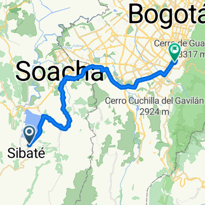
- Sibaté, Cundinamarca, Colombia
A cycling route starting in Sibaté, Cundinamarca, Colombia.
Overview
Route 27 of the 30 Challenge Club Ciclístico BiciGlifos
created this 6 years ago
Route quality
Quiet road
43.8 km
(52 %)
Road
16 km
(19 %)
Paved
22.7 km
(27 %)
Unpaved
12.6 km
(15 %)
Asphalt
22.7 km
(27 %)
Unpaved (undefined)
12.6 km
(15 %)
Undefined
48.8 km
(58 %)
Continue with Bikemap
You would like to ride El Romeral - Tibacuy - Quininí - Pueblo Nuevo - Agua de dios - Tocaima or customize it for your own trip? Here is what you can do with this Bikemap route:
Free trial for 3 days, or one-time payment. More about Bikemap Premium.
Discover more Premium features.
Get Bikemap PremiumFrom our community
Open it in the app