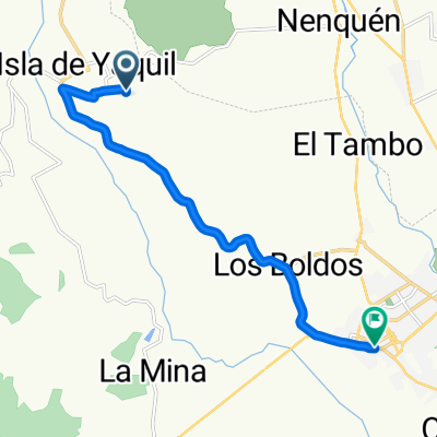
De Manuel Rodríguez 811, Santa Cruz a Manuel Rodríguez 798, Colchagua
- 26.3 km
- 27 m
- 49 m
- Santa Cruz, O'Higgins Region, Chile
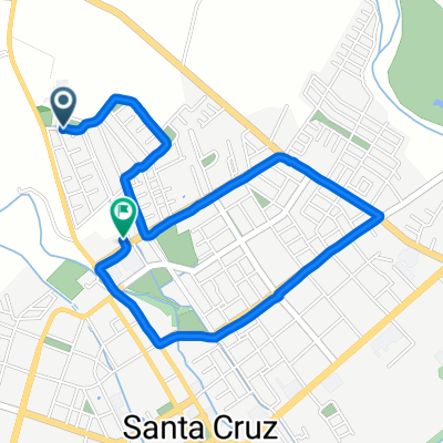
A cycling route starting in Santa Cruz, O'Higgins Region, Chile.
Overview
From the Hotel de Santa Cruz to Lolol, passing by the Viña Santa Cruz.
created this 17 years ago
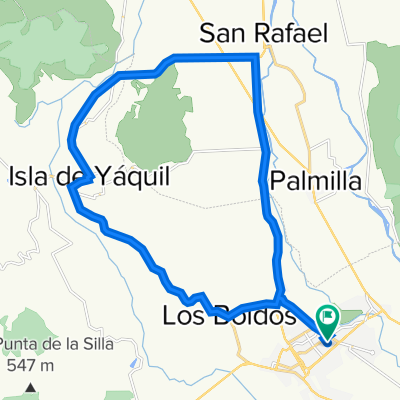
Route quality
Quiet road
5.9 km
(9 %)
Access road
1.3 km
(2 %)
Paved
60 km
(91 %)
Asphalt
55.4 km
(84 %)
Paved (undefined)
4 km
(6 %)
Continue with Bikemap
You would like to ride Santa Cruz Circuito or customize it for your own trip? Here is what you can do with this Bikemap route:
Free trial for 3 days, or one-time payment. More about Bikemap Premium.
Discover more Premium features.
Get Bikemap PremiumFrom our community
Open it in the app