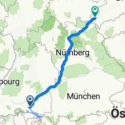
Bernhard-Endres-Weg, Owingen nach Schillingstraße, Villingen-Schwenningen
- 87.4 km
- 981 m
- 778 m
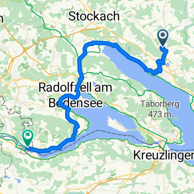
- Owingen, Baden-Wurttemberg, Germany
A cycling route starting in Owingen, Baden-Wurttemberg, Germany.
Overview
created this 6 years ago
Route quality
Quiet road
121.2 km
(25 %)
Road
111.5 km
(23 %)
Paved
349.2 km
(72 %)
Unpaved
33.9 km
(7 %)
Asphalt
324.9 km
(67 %)
Gravel
29.1 km
(6 %)
Route highlights
Landgasthof Schwabenpfanne Donaustetter Str. 21/1, Erbach 27.05.2019, Einzelzimmer 36€ 07305 24444
Privatzimmer Schön, Graf Stauffenbergstr. 7, Amerdingen 09089 684
Pension Seitz Duchelgasse 1+3, Wolfram-Eschenbach 09875 97900
Gasthof Wichert Sassanfahrter Hauptstr. 9, Hirschaid-Sassanfahrt 09543 3077
Gästehaus G. Hofmann Vogtendorf 13, Kronach 09261 20644
Continue with Bikemap
You would like to ride Plauen or customize it for your own trip? Here is what you can do with this Bikemap route:
Free trial for 3 days, or one-time payment. More about Bikemap Premium.
Discover more Premium features.
Get Bikemap PremiumFrom our community
Open it in the app