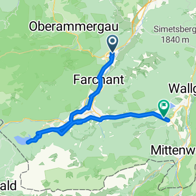
Oberau-Weilheim ü Kohlgrub
A cycling route starting in Oberau, Bavaria, Germany.
Overview
About this route
Wir starten i Oberau, Eschenlohe, Murn.Moor Bad Kohlgrub, Saliter Oberhausen Polling Weilheim Endstation Einkehrschwung i Brauerei.. i Weilheim
- -:--
- Duration
- 48.3 km
- Distance
- 305 m
- Ascent
- 394 m
- Descent
- ---
- Avg. speed
- ---
- Avg. speed
Route quality
Waytypes & surfaces along the route
Waytypes
Quiet road
22.5 km
(47 %)
Track
19.5 km
(40 %)
Surfaces
Paved
22.7 km
(47 %)
Unpaved
15.9 km
(33 %)
Asphalt
22.1 km
(46 %)
Gravel
14.2 km
(29 %)
Continue with Bikemap
Use, edit, or download this cycling route
You would like to ride Oberau-Weilheim ü Kohlgrub or customize it for your own trip? Here is what you can do with this Bikemap route:
Free features
- Save this route as favorite or in collections
- Copy & plan your own version of this route
- Sync your route with Garmin or Wahoo
Premium features
Free trial for 3 days, or one-time payment. More about Bikemap Premium.
- Navigate this route on iOS & Android
- Export a GPX / KML file of this route
- Create your custom printout (try it for free)
- Download this route for offline navigation
Discover more Premium features.
Get Bikemap PremiumFrom our community
Other popular routes starting in Oberau
- Mühlstraße, Oberau nach Levelingstraße, München
- Distance
- 110.2 km
- Ascent
- 558 m
- Descent
- 687 m
- Location
- Oberau, Bavaria, Germany
- Oberau - Murnau - Seeshaupt - Penzberg - Kochel - Oberau
- Distance
- 94.3 km
- Ascent
- 474 m
- Descent
- 492 m
- Location
- Oberau, Bavaria, Germany
- Ettal-Füssen
- Distance
- 58.7 km
- Ascent
- 673 m
- Descent
- 523 m
- Location
- Oberau, Bavaria, Germany
- Mühlstraße, Oberau nach Levelingstraße, München
- Distance
- 97.4 km
- Ascent
- 535 m
- Descent
- 663 m
- Location
- Oberau, Bavaria, Germany
- 2014 - 4. Tag Oberau - Igels
- Distance
- 97.2 km
- Ascent
- 959 m
- Descent
- 745 m
- Location
- Oberau, Bavaria, Germany
- Oberau Radfahren
- Distance
- 0.5 km
- Ascent
- 0 m
- Descent
- 0 m
- Location
- Oberau, Bavaria, Germany
- Von Oberau über Ersbergeralm nach Garmisch-Partenkirchen
- Distance
- 57.1 km
- Ascent
- 921 m
- Descent
- 865 m
- Location
- Oberau, Bavaria, Germany
- Oberau - Namloser Tal - Oberau
- Distance
- 128 km
- Ascent
- 1,112 m
- Descent
- 1,112 m
- Location
- Oberau, Bavaria, Germany